


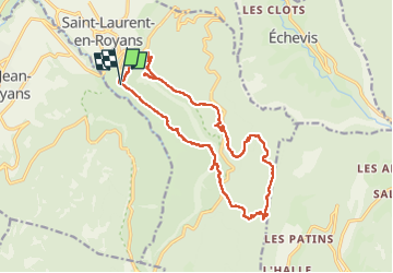

10,1 km | 22 km-effort


Usuario


Aplicación GPS de excursión GRATIS
 SityTrail
IGN / Institutos geográficos
SityTrail World
El mundo es suyo
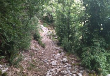
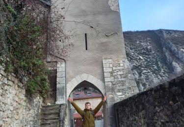
Ruta Senderismo de 18,4 km a descubrir en Auvergne-Rhône-Alpes, Drôme, Saint-Laurent-en-Royans. Esta ruta ha sido propuesta por alinetpierre.
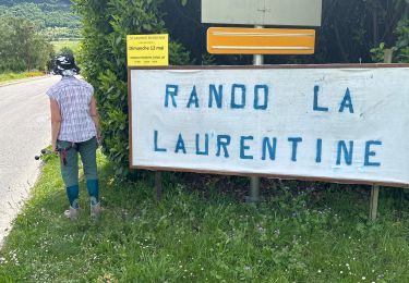
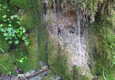
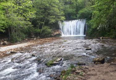
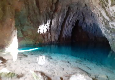
Belle randonnée sportive, des passages dans les bois hors sentiers , des passages difficiles et vertigineux.

Senderismo

sport
Senderismo
Senderismo
Senderismo
Senderismo
Marcha nórdica
Senderismo
Senderismo