![](/images/other/stat-length.png)
![Excursión Senderismo Le Hohwald - Par les sommets autour du Hohwald - Photo](https://media.geolcdn.com/t/1900/400/ext.pjpeg?maxdim=2&url=https%3A%2F%2Fmedia.geolcdn.com%2Ff%2Fdd5f6d63-3ad2-4f01-aacf-dff679122f70.jpg)
Par les sommets autour du Hohwald
VacheKiri67
Usuario
![Longitud](/images/other/stat-length.png)
Longitud
15,1 km
![Altitud máxima](https://static1.geolcdn.com/siteimages/upload/files/1508320355ic_sort_altitude_max_24dp.png)
Altitud máxima
1073 m
![Desnivel positivo](https://static1.geolcdn.com/siteimages/upload/files/1508320355ic_sort_den_pos_24dp.png)
Desnivel positivo
539 m
![Km-Effort](/images/other/stat-length.png)
Km-Effort
22 km
![Altitud mínima](https://static1.geolcdn.com/siteimages/upload/files/1508320355ic_sort_altitude_min_24dp.png)
Altitud mínima
567 m
![Desnivel negativo](https://static1.geolcdn.com/siteimages/upload/files/1508320355ic_sort_den_neg_24dp.png)
Desnivel negativo
539 m
![Boucle](https://static1.geolcdn.com/siteimages/upload/files/16400158638029165_repeat_loop_refresh_sync_direction_icon.png)
Boucle
Sí
Fecha de creación :
2022-07-03 09:02:54.791
Última modificación :
2022-07-06 16:36:56.351
![Senderismo](https://static1.geolcdn.com/sitytour/trail-icons/101.png)
4h07
Dificultad : Medio
![Escanee este código QR para abrir la excursión en la aplicación SityTrail](https://capi.geolives.com/qq0zvz2zws4bq2lad0pu/sitytour/trails/3303045/qr.png?size=200)
Aplicación GPS de excursión GRATIS
A propósito
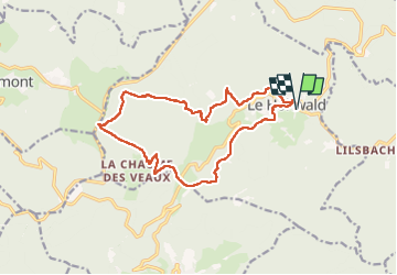
Ruta Senderismo de 15,1 km a descubrir en Gran Este, Bajo-Rin, Le Hohwald. Esta ruta ha sido propuesta por VacheKiri67.
Descripción
Faite le 03/07/2022. D'après "Passion Vosges : Nos 50 plus belles randonnées - 28 : Par les sommets autour du Hohwald". Durée indiquée pour le circuit : 4h30.
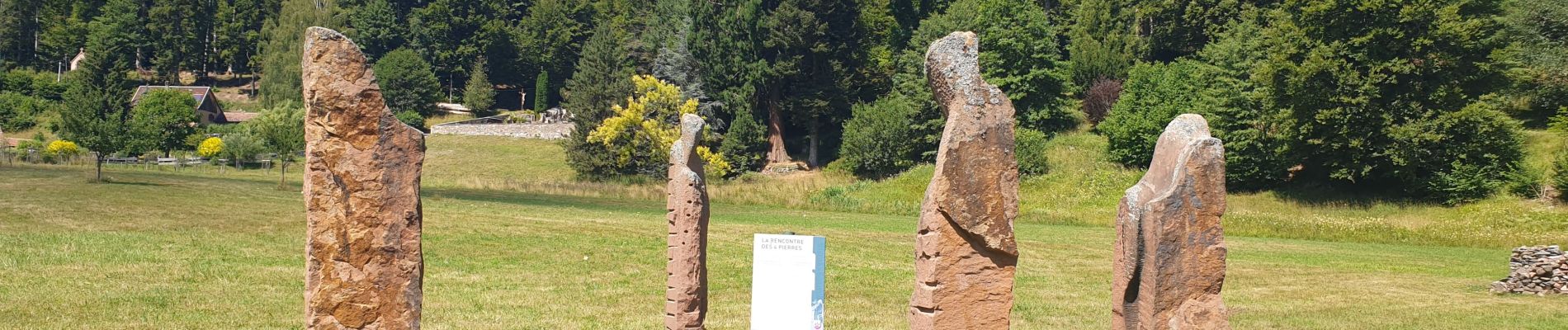
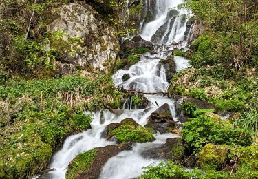
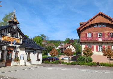
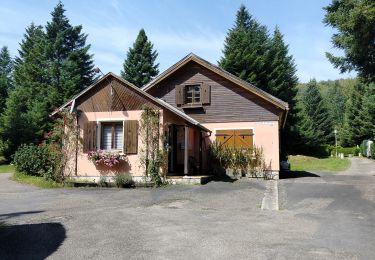
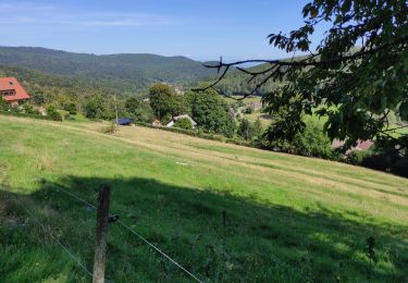
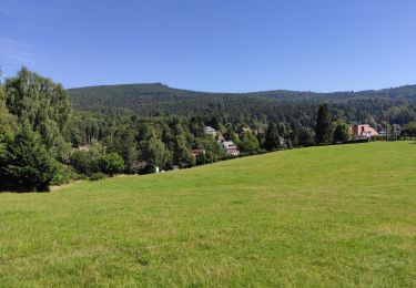
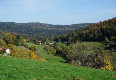
Localización
País:
France
Región :
Gran Este
Departamento/provincia :
Bajo-Rin
Municipio :
Le Hohwald
Localidad:
Unknown
Salida:(Dec)
Salida:(UTM)
376378 ; 5362426 (32U) N.
Comentarios
Excursiones cerca
![Excursión Senderismo Le Hohwald - suuntoapp-Hiking-2024-04-27T09-12-29Z - Photo](https://media.geolcdn.com/t/375/260/ext.jpg?maxdim=2&url=https%3A%2F%2Fmedia.geolcdn.com%2Ff%2Fd8b206f8-0969-498e-bcc6-fd799e0e40cd.jpg)
![Senderismo Senderismo](https://static1.geolcdn.com/sitytour/trail-icons/101.png)
suuntoapp-Hiking-2024-04-27T09-12-29Z
Senderismo
Medio
Le Hohwald,
Gran Este,
Bajo-Rin,
France
![](/images/other/stat-length.png)
20 km | 31 km-effort
6h 58min
![](https://static1.geolcdn.com/siteimages/upload/files/16400158638029165_repeat_loop_refresh_sync_direction_icon.png)
Sí
![Excursión Senderismo Reichsfeld - 2019-12-28 Marche Reichsfeld Ungersberg Gruckert - Photo](https://media.geolcdn.com/t/375/260/ext.jpg?maxdim=2&url=https%3A%2F%2Fmedia.geolcdn.com%2Ff%2F42eae20f-c3f4-4c06-9edb-b597f2c7a1bb.jpg)
![Senderismo Senderismo](https://static1.geolcdn.com/sitytour/trail-icons/101.png)
2019-12-28 Marche Reichsfeld Ungersberg Gruckert
Senderismo
Muy fácil
Reichsfeld,
Gran Este,
Bajo-Rin,
France
![](/images/other/stat-length.png)
12,2 km | 20 km-effort
3h 5min
![](https://static1.geolcdn.com/siteimages/upload/files/16400158638029165_repeat_loop_refresh_sync_direction_icon.png)
Sí
![Excursión Senderismo Le Hohwald - Tour du Hohwald - Photo](https://media.geolcdn.com/t/375/260/ext.jpg?maxdim=2&url=https%3A%2F%2Fstatic1.geolcdn.com%2Fsiteimages%2Fupload%2Ffiles%2F1553511878bg_sport_marche.png)
![Senderismo Senderismo](https://static1.geolcdn.com/sitytour/trail-icons/101.png)
Tour du Hohwald
Senderismo
Medio
(1)
Le Hohwald,
Gran Este,
Bajo-Rin,
France
![](/images/other/stat-length.png)
8 km | 11,3 km-effort
2h 26min
![](https://static1.geolcdn.com/siteimages/upload/files/16400158638029165_repeat_loop_refresh_sync_direction_icon.png)
Sí
![Excursión Senderismo Ottrott - 2013-12-29 Marche Mt Ste Odile Maennelstein Birkenfels - Photo](https://media.geolcdn.com/t/375/260/ext.jpg?maxdim=2&url=https%3A%2F%2Fstatic1.geolcdn.com%2Fsiteimages%2Fupload%2Ffiles%2F1553511878bg_sport_marche.png)
![Senderismo Senderismo](https://static1.geolcdn.com/sitytour/trail-icons/101.png)
2013-12-29 Marche Mt Ste Odile Maennelstein Birkenfels
Senderismo
Medio
(1)
Ottrott,
Gran Este,
Bajo-Rin,
France
![](/images/other/stat-length.png)
10,8 km | 15,4 km-effort
3h 24min
![](https://static1.geolcdn.com/siteimages/upload/files/16400158638029165_repeat_loop_refresh_sync_direction_icon.png)
Sí
![Excursión Senderismo Le Hohwald - Hohwald - Rothlach - Neuntelstein - Photo](https://media.geolcdn.com/t/375/260/ext.jpg?maxdim=2&url=https%3A%2F%2Fmedia.geolcdn.com%2Ff%2F0ea7410a-d32d-4905-9369-a48f058188e6.jpg)
![Senderismo Senderismo](https://static1.geolcdn.com/sitytour/trail-icons/101.png)
Hohwald - Rothlach - Neuntelstein
Senderismo
Medio
Le Hohwald,
Gran Este,
Bajo-Rin,
France
![](/images/other/stat-length.png)
15,8 km | 22 km-effort
4h 28min
![](https://static1.geolcdn.com/siteimages/upload/files/16400158638029165_repeat_loop_refresh_sync_direction_icon.png)
Sí
![Excursión Senderismo Le Hohwald - le hohwald, boucle](https://media.geolcdn.com/t/375/260/ext.jpg?maxdim=2&url=https%3A%2F%2Fmedia.geolcdn.com%2Ff%2Fcc43b1d5-9e0d-477b-9cf7-84cc19342b6e.jpg)
![Senderismo Senderismo](https://static1.geolcdn.com/sitytour/trail-icons/101.png)
le hohwald, boucle "petite ceinture"
Senderismo
Fácil
Le Hohwald,
Gran Este,
Bajo-Rin,
France
![](/images/other/stat-length.png)
3,4 km | 4,8 km-effort
55min
![](https://static1.geolcdn.com/siteimages/upload/files/16400158638029165_repeat_loop_refresh_sync_direction_icon.png)
Sí
![Excursión Senderismo Le Hohwald - Hohwald (ter) - Photo](https://media.geolcdn.com/t/375/260/ext.jpg?maxdim=2&url=https%3A%2F%2Fmedia.geolcdn.com%2Ff%2F3da381bb-faf8-430b-b807-40072fd051a1.jpg)
![Senderismo Senderismo](https://static1.geolcdn.com/sitytour/trail-icons/101.png)
Hohwald (ter)
Senderismo
Difícil
Le Hohwald,
Gran Este,
Bajo-Rin,
France
![](/images/other/stat-length.png)
11,2 km | 15,6 km-effort
3h 31min
![](https://static1.geolcdn.com/siteimages/upload/files/16400158638029165_repeat_loop_refresh_sync_direction_icon.png)
Sí
![Excursión Senderismo Le Hohwald - Le Hohwald (bis) - Photo](https://media.geolcdn.com/t/375/260/ext.jpg?maxdim=2&url=https%3A%2F%2Fmedia.geolcdn.com%2Ff%2F19c0bb99-27f8-4045-b1f2-66407226f86a.jpg)
![Senderismo Senderismo](https://static1.geolcdn.com/sitytour/trail-icons/101.png)
Le Hohwald (bis)
Senderismo
Medio
Le Hohwald,
Gran Este,
Bajo-Rin,
France
![](/images/other/stat-length.png)
7,9 km | 11,1 km-effort
2h 56min
![](https://static1.geolcdn.com/siteimages/upload/files/16400158638029165_repeat_loop_refresh_sync_direction_icon.png)
No
![Excursión Senderismo Le Hohwald - Le Hohwald Grande Bellevue Cascade de l'Andlau - Photo](https://media.geolcdn.com/t/375/260/ext.jpg?maxdim=2&url=https%3A%2F%2Fmedia.geolcdn.com%2Ff%2F18bf43b0-abf3-424b-b723-b3374177c865.JPG)
![Senderismo Senderismo](https://static1.geolcdn.com/sitytour/trail-icons/101.png)
Le Hohwald Grande Bellevue Cascade de l'Andlau
Senderismo
Fácil
Le Hohwald,
Gran Este,
Bajo-Rin,
France
![](/images/other/stat-length.png)
10,4 km | 14,9 km-effort
2h 48min
![](https://static1.geolcdn.com/siteimages/upload/files/16400158638029165_repeat_loop_refresh_sync_direction_icon.png)
Sí