


13 km | 19,2 km-effort

Usuario


Aplicación GPS de excursión GRATIS
 SityTrail
IGN / Institutos geográficos
SityTrail World
El mundo es suyo
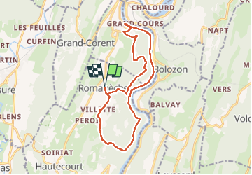
Ruta Senderismo de 16 km a descubrir en Auvergne-Rhône-Alpes, Ain, Hautecourt-Romanèche. Esta ruta ha sido propuesta por Mer0708.
romaneche cize Villette romanechr

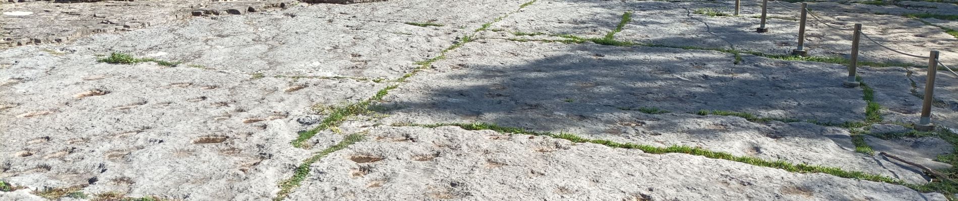
Senderismo


sport
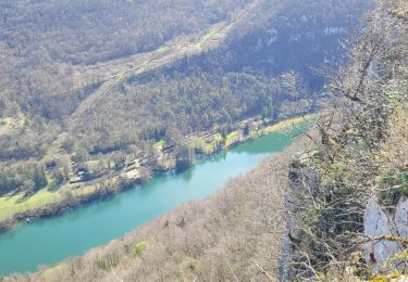
Senderismo
Senderismo
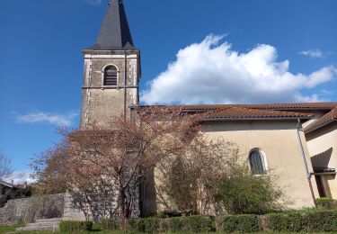
Senderismo
Senderismo
Senderismo

Senderismo

Senderismo