


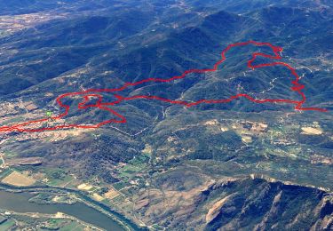
14,4 km | 20 km-effort

Usuario


Aplicación GPS de excursión GRATIS
 SityTrail
IGN / Institutos geográficos
SityTrail World
El mundo es suyo
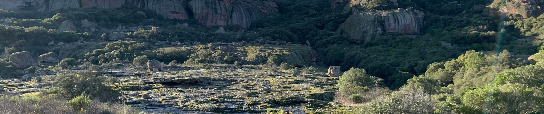
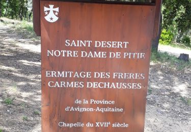
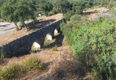
Ruta Senderismo de 7,7 km a descubrir en Provenza-Alpes-Costa Azul, Var, Roquebrune-sur-Argens. Esta ruta ha sido propuesta por ETMU5496.
IBP = 51


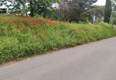
61 fotos en total. Haga clic en una foto para mostrarlas todas en la galería.
Senderismo

Senderismo

Senderismo

A pie
Senderismo
Senderismo

Bici de montaña
Senderismo
Senderismo