


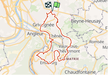

11,6 km | 16,5 km-effort


Usuario


Aplicación GPS de excursión GRATIS
 SityTrail
IGN / Institutos geográficos
SityTrail World
El mundo es suyo
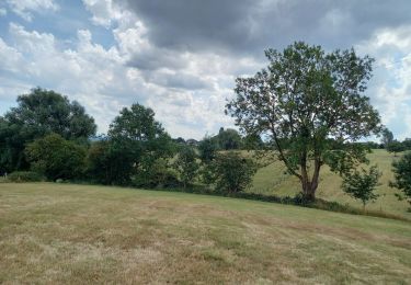
Ruta Senderismo de 18,2 km a descubrir en Valonia, Lieja, Lieja. Esta ruta ha sido propuesta por jeangulu.
Point de départ : Institut d'Enseignement Spécial - Rue Nicolas Spiroux, 62 - 4030 GRIVEGNEE.
Organisateur : LG 011 - LES BRUYERES EN MARCHE
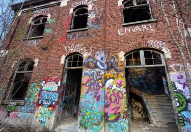
Avis : Trop de routes à circulation dense

Senderismo

Senderismo
Senderismo

Senderismo
Senderismo
Senderismo
Senderismo
Senderismo
Senderismo