


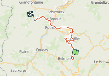

20 km | 31 km-effort

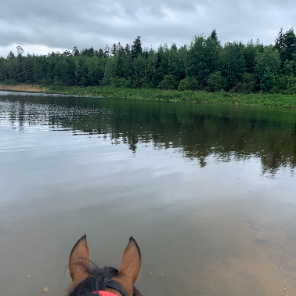
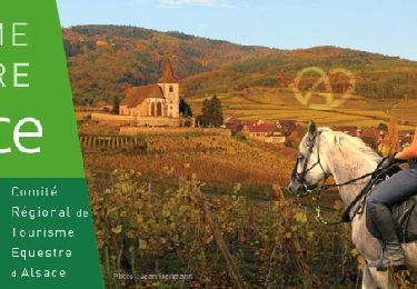
JOIE ET BONHEUR DE LA RANDONNEE A CHEVAL


Aplicación GPS de excursión GRATIS
 SityTrail
IGN / Institutos geográficos
SityTrail World
El mundo es suyo
Ruta Paseo ecuestre de 20 km a descubrir en Gran Este, Bajo-Rin, Belmont. Esta ruta ha sido propuesta por ASSOCIATION DES CAVALIERS DU PAYS LUNEVILLOIS.
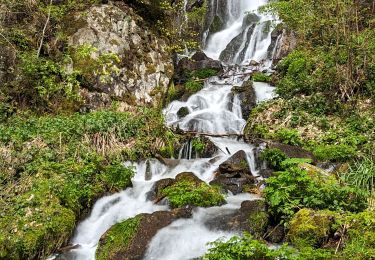
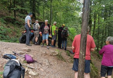
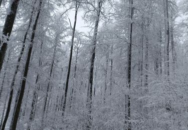
Champ du Feu - Fréconrupt, Abri des 3 planches
Senderismo

Senderismo
Senderismo
Paseo ecuestre

Paseo ecuestre
Senderismo
Senderismo
Raquetas de nieve