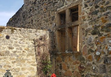
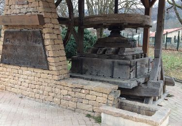
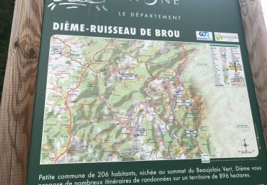
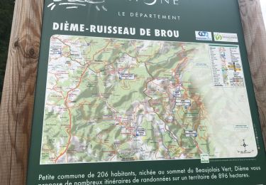
Excursión Senderismo Ternand - Forêt de Brou - Croix et Ruisseau 2010-07-21 - Photo

Forêt de Brou - Croix et Ruisseau 2010-07-21

 gael.simon
gael.simon

Usuario

© OpenStreetMap contributors
Longitud
Longitud
5,2 km
Altitud máxima
Altitud máxima
653 m
Desnivel positivo
Desnivel positivo
217 m
Km-Effort
Km-Effort  
8,1 km
Altitud mínima
Altitud mínima
458 m
Desnivel negativo
Desnivel negativo
218 m
Boucle
Boucle
Fecha de creación :
2014-12-10 00:00:00.0
Última modificación :
2014-12-10 00:00:00.0

(0 Opinión)

Senderismo
Senderismo
--
Dificultad : Desconocido

Escanee este código QR para abrir la excursión en la aplicación SityTrail

Aplicación GPS de excursión GRATIS

Logo SityTrail SityTrail

IGN / Institutos geográficos

Descargar SityTrail en App Store Descargar SityTrail en Google Play

Logo SityTrail SityTrail World

El mundo es suyo

Descargar SityTrail en App Store Descargar SityTrail en Google Play Descargar SityTrail en Huawei AppGallery

A propósito

Ruta Senderismo de 5,2 km a descubrir en Auvergne-Rhône-Alpes, Ródano, Ternand. Esta ruta ha sido propuesta por gael.simon.

Perfil altimétrico

Fotos

Puntos de interés

Punto de interés Ternand - Sapins - Photo
gael.simon
TERNAND 
Punto de interés Ternand - Sureau - Photo
gael.simon
TERNAND 
Punto de interés Ternand - Paysage - Photo
gael.simon
TERNAND 
Punto de interés Saint-Vérand - Point pique-nique - Photo
gael.simon
SAINT-VÉRAND 
Punto de interés Saint-Vérand - desnte caillouteuse - Photo
gael.simon
SAINT-VÉRAND 
Punto de interés Saint-Vérand - Panneau - Photo
gael.simon
SAINT-VÉRAND 
Punto de interés Saint-Vérand - Vue sur La Maletière - Photo
gael.simon
SAINT-VÉRAND 
Punto de interés Saint-Vérand - Paysage - Photo
gael.simon
SAINT-VÉRAND 
Punto de interés Ternand - Bois en cours d'exploitatio - Photo
gael.simon
Punto de interés Ternand - La Font Gelée - Photo
gael.simon
Punto de interés Ternand - Panneau indicateur - Photo
gael.simon

Localización

País:
France
Región :
Auvergne-Rhône-Alpes
Departamento/provincia :
Ródano
Municipio :
Ternand
Localidad:
Unknown
Salida:(Dec)
Salida:(UTM)
615784 ; 5089485 (31T) N.

Excursiones cerca

Excursión Senderismo Ternand - 2022-04-07_21h47m08_Ternand_V2 - Photo
Senderismo
daniellebou

Senderismo

Muy difícil
(1)
Ternand, Auvergne-Rhône-Alpes, Ródano, France
17,8 km | 27 km-effort
6h 7min
Excursión Senderismo Saint-Vérand - Saint Vérand - Photo
Senderismo
fernand1254

Senderismo

Medio
(1)
Saint-Vérand, Auvergne-Rhône-Alpes, Ródano, France
13,5 km | 21 km-effort
3h 37min
Excursión Senderismo Dième - Le Ruisseau de Brou - Photo
Senderismo
fernand1254

Senderismo

Medio
(1)
Dième, Auvergne-Rhône-Alpes, Ródano, France
11,3 km | 17,3 km-effort
3h 24min
Excursión Senderismo Val d'Oingt - 69620-StLo-160412-Azergues+Genetière+Berthier - Photo
Senderismo
adye

Senderismo

Fácil
(2)
Val d'Oingt, Auvergne-Rhône-Alpes, Ródano, France
5,2 km | 7,1 km-effort
1h 38min
Excursión Senderismo Saint-Clément-sur-Valsonne - Tour des Crets - Photo
Senderismo
alainsoly

Senderismo

Muy fácil
(1)
Saint-Clément-sur-Valsonne, Auvergne-Rhône-Alpes, Ródano, France
7 km | 11,1 km-effort
2h 12min
Excursión Senderismo Chamelet - Chamelet (69) 16,7 km via Chapelle de la Salette - Photo
Senderismo
Thomasdanielle

Senderismo

Medio
Chamelet, Auvergne-Rhône-Alpes, Ródano, France
16,6 km | 27 km-effort
5h 33min
Excursión Senderismo Chamelet - Chamelet (69) 19,5 km D. 776 m - Photo
Senderismo
Thomasdanielle

Senderismo

Difícil
Chamelet, Auvergne-Rhône-Alpes, Ródano, France
19,3 km | 29 km-effort
6h 5min
Excursión Senderismo Dième - Dième : Le ruisseau de Brou (9 km - D. 365 m) - Photo
Senderismo
Thomasdanielle

Senderismo

Medio
Dième, Auvergne-Rhône-Alpes, Ródano, France
9,3 km | 14,2 km-effort
3h 13min
Excursión Senderismo Dième - Dième : Le ruisseau de Brou (12 km - D. 455 m) - Photo
Senderismo
Thomasdanielle

Senderismo

Medio
Dième, Auvergne-Rhône-Alpes, Ródano, France
11,9 km | 17,9 km-effort
4h 4min


Cerrar
Mis suscripciones