


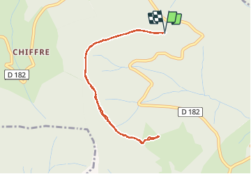

12,9 km | 17,9 km-effort


Usuario


Aplicación GPS de excursión GRATIS
 SityTrail
IGN / Institutos geográficos
SityTrail World
El mundo es suyo
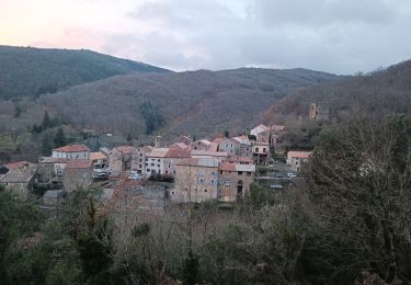
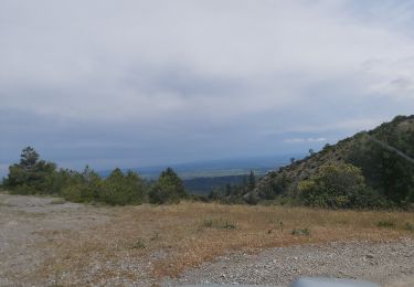
Ruta Senderismo de 4,7 km a descubrir en Occitania, Hérault, Cassagnoles. Esta ruta ha sido propuesta por mootman.
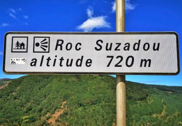
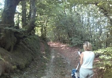
A fairly easy there and back hike along a well marked track. Excellent views at the farthest point of the Mediterranean, Pyrénées and the Minervois.


Senderismo
Senderismo
A pie
Senderismo
Senderismo
Bici eléctrica
Carrera
Senderismo
Senderismo