


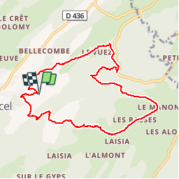


16,3 km | 31 km-effort


Usuario


Aplicación GPS de excursión GRATIS
 SityTrail
IGN / Institutos geográficos
SityTrail World
El mundo es suyo
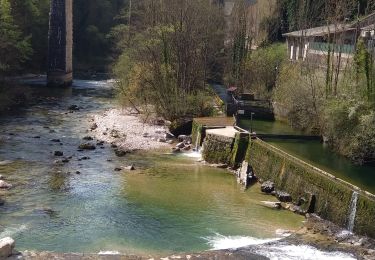
Ruta Senderismo de 9,5 km a descubrir en Borgoña-Franco Condado, Jura, Septmoncel les Molunes. Esta ruta ha sido propuesta por patou39.


Senderismo

Senderismo

Bicicleta

Carrera

Senderismo
Senderismo
Senderismo
Senderismo
Senderismo