


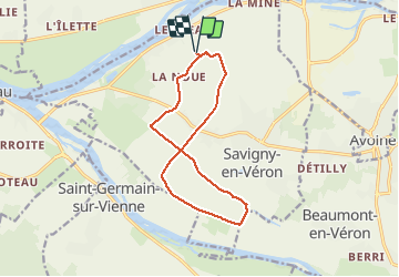

10 km | 11,2 km-effort


Usuario


Aplicación GPS de excursión GRATIS
 SityTrail
IGN / Institutos geográficos
SityTrail World
El mundo es suyo
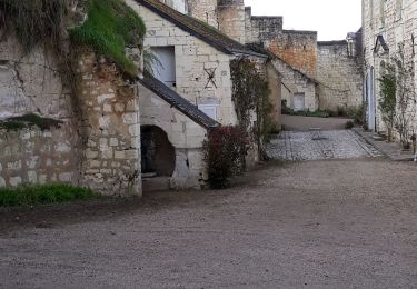
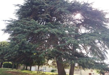
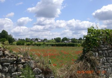
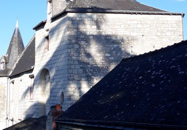
Ruta Caballo de 12,3 km a descubrir en Centro, Indre y Loira, Savigny-en-Véron. Esta ruta ha sido propuesta por roi.
Balade avec Fanchon et Laëtitia. Grande ligne de galop. Peu de route et route très facile pour chevaux. Bcp de pause pour brouter et bcp de pas. Peut se faire bcp plus vite.

Senderismo
Senderismo
Senderismo
Senderismo
Senderismo
Senderismo

Senderismo
Senderismo
Senderismo