


13,4 km | 15,8 km-effort
Lontzen : découvrez les meilleures randonnées : 13 a pied, 39 marche, 2 marche nordique et 1 course à pied. Tous ces circuits, parcours, itinéraires et activités en plein air sont disponibles dans nos applications SityTrail pour smartphones et tablettes.

Marche


• Belle promenade campagnarde et champêtre. 📌 rue Vieux- Herbesthal, quelques places de 🅿️ le long de la route juste...
A pied
• unvollständig
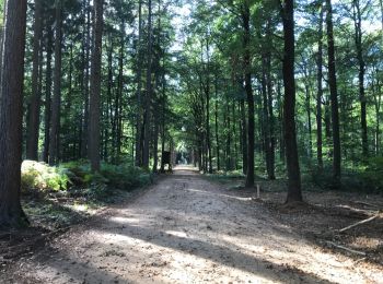
A pied
• Bäume unvollständig
A pied
• unvollständig

Marche
• village hergenrard
Marche
• Belle boucle campagnarde dans la région germanophone. 📌 Parking Dorfstrabe 39 à Walhorn. ➡️📄 www.wandelgidszuidlimb...
Marche
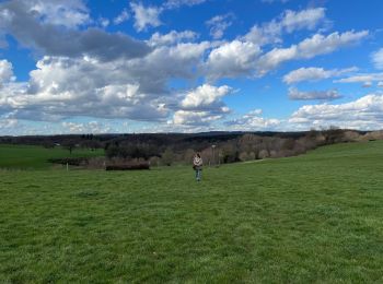
• Tour sur le plateau de Lontzen, avec quelques passages dans des prés, d’échalier en échalier. Le dénivelé est peu mar...
Marche
• Rando confortables, sentiers praticables et faciles 🥾
A pied
A pied
A pied
A pied
A pied
A pied
Marche nordique
• Balade de 12.5 Kms chemins , bois , prairies et peu de route
Marche
Marche
Marche

A pied
• Randonnée créée par Gemeinde Kelmis.
A pied
• Symbole: Liegende gelbe Raute auf weißem Grund
20 randonnées affichées sur 55
Application GPS de randonnée GRATUITE
 SityTrail
IGN / Instituts géographiques
SityTrail World
Le monde est à vous