


14,1 km | 18,7 km-effort
Jalhay : découvrez les meilleures randonnées : 69 a pied, 687 marche, 43 marche nordique, 64 course à pied et 24 trail. Tous ces circuits, parcours, itinéraires et activités en plein air sont disponibles dans nos applications SityTrail pour smartphones et tablettes.

Marche


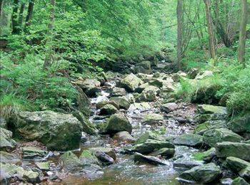
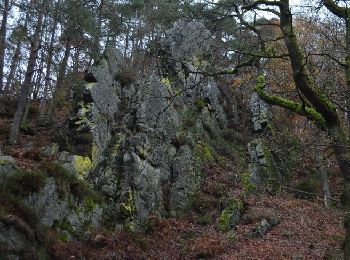
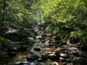
• Au pied du plateau des Hautes Fagnes La balade des ruisseaux Avertissement : le long de la Hoëgne, du ruisseau de B...
Marche
• Avertissement : le long de la Hoëgne, du ruisseau de Bilisse et de la Sawe, les racines, les gros blocs de pierre e...
Marche
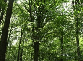
• Aux portes des Hautes Fagnes, cette promenade part à la découverte du site Natura 2000 Vallée de la Hoëgne. Votre che...

Marche
• Une balade improvisée pour Luna 🐕 (bois & ruisseau) dans le Parc naturel des Hautes-Fagnes Eifel, par le bois de Bor...
Marche
• Un parcours en ligne suivant le GRP 573 entre le Pont de Belleheid et Spa. Le parcours suit La Hoëgne, traverse la St...
Marche
• ℹ sur www.tourismejalhaysart.be Infos pratiques Balisage : suivez les croix jaunes Départ : Eglise de Jalhay Adresse...
Marche
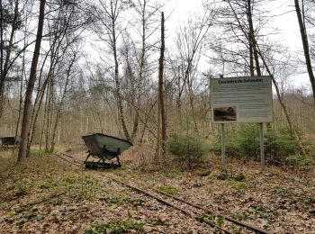
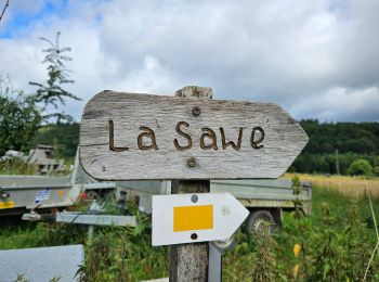
• BALADE 56 : Solwaster - Sawe Infos pratiques Balisage: rectangles jaunes Distance: 12 km indiqué, en réalité 9 km ...

Marche
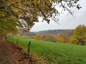
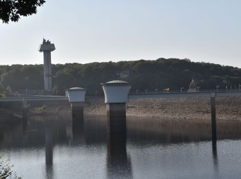
• Balade au sec, sous un soleil timide mais présent, partiellement le long du lac de la Gileppe.
Course à pied
Marche
Trail
• Afin d'accéder aux dernières informations relatives à Extratrail® et aux tracés GPX à jour, vous pouvez consulter dir...

Marche
• L’étape la plus facile de la randonnée. Cependant, ne partez pas avec un sac à dos trop rempli pour vous faciliter le...

Marche
• Dès le départ, un sentier vous emmène dans la vallée de la Statte où vous découvrirez un monde de légendes tels le Ro...
Marche
Marche
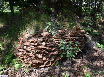
• Magnifique
Marche
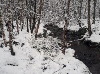
• bucolique
Marche
•

A pied
• Balisage: rectangles jaunes Distance: 7km Départ : Eglise de Solwaster Adresse: Solwaster 14, 4845 JALHAY Coordonné...
Marche
Marche nordique
20 randonnées affichées sur 886
Application GPS de randonnée GRATUITE
 SityTrail
IGN / Instituts géographiques
SityTrail World
Le monde est à vous