


16,9 km | 23 km-effort
Malmedy : découvrez les meilleures randonnées : 69 a pied, 423 marche, 38 marche nordique, 25 course à pied et 10 trail. Tous ces circuits, parcours, itinéraires et activités en plein air sont disponibles dans nos applications SityTrail pour smartphones et tablettes.
Marche


• Randonnée aux multiples facettes où le temps suspend son cours pour aiguiser nos sens à l’utilité de prendre son temp...
Marche
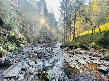
• Au Départ de l'auberge, cette balade de 7 km vous emmène dans la surprenante vallée du Trôs maret. Cette rivière fagn...

Marche
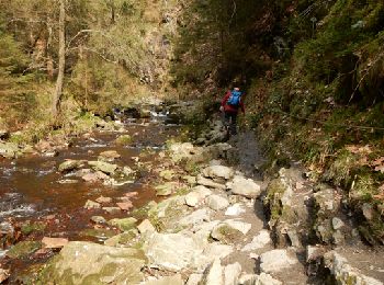
• La balade le long du ruisseau du Trôs-Marets près de Malmedy est vraiment fascinante, c’est une petite aventure pour ...
Marche
• 🇧🇪 Une balade créée avec les #pointsnoeuds virtuels sur l'app @NodeMapp Hike. Le parcours passe par : Floriheid, ...
Marche
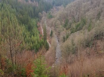
• Au cours de ce difficile tour des Ardennes, vous grimperez beaucoup puis vous marcherez pendant un certain temps au-d...
Marche
• superbe balade sur les berges escarpees du tro maret
Marche
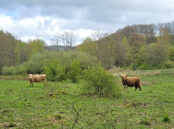
• Bellevaux – Ligneuville – Fisé – Thirimont – Lamonriville – Xhurdebise – Bellevaux Cartographie et documentation...
Marche
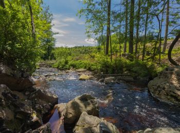
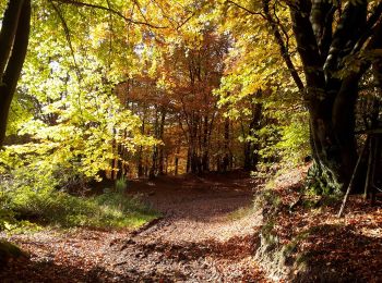
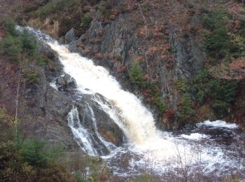
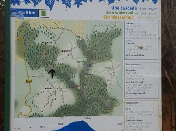
• Ouvrez grand les yeux : au fond de ce canyon, vous longerez un magnifique torrent qui, de cascades en cascades, vous ...
Marche
Marche
Marche
A pied
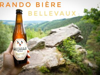
• Hello, 😁 Je vous propose de me rejoindre pour une rando/bière du côté de Bellevaux ! Info rando : 👣 m : 208D+📈 e...
Marche
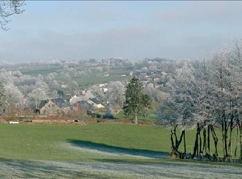
• Jusqu'au village typiquement ardennais par les petits sentiers, les charmilles et la vallée de la Warche.
Marche
• Deux ou trois ascensions c'est selon. Ce parcours sportif ravira les marcheurs en quête de courbe de niveau ou les t...
Marche
• Très belle balade le long de beau cours d'eau et d'une cascade.
Marche
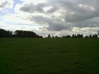
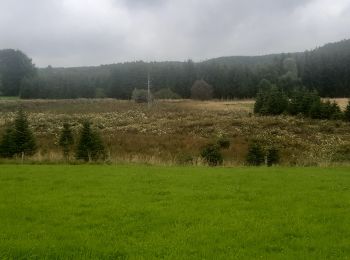
• Forêt et fagnes
Marche
• La Warche et ses rochers
Marche
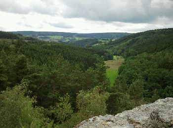
• Sur les hauteurs dominant la haute vallée de l’Amblève et la Warche Bellevaux – Ligneuville – Xhurdebise – Bellevaux...

Marche
• Très belle ballade
Marche
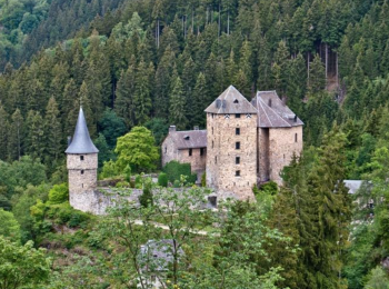
• Promenade balisée (losange vert) Au dessus de la Warche et passant à proximité du château de Reinhardstein
20 randonnées affichées sur 564
Application GPS de randonnée GRATUITE
 SityTrail
IGN / Instituts géographiques
SityTrail World
Le monde est à vous