


16,4 km | 19,4 km-effort
Visé : découvrez les meilleures randonnées : 14 a pied, 182 marche, 7 marche nordique, 11 course à pied et 1 trail. Tous ces circuits, parcours, itinéraires et activités en plein air sont disponibles dans nos applications SityTrail pour smartphones et tablettes.
Marche


Marche
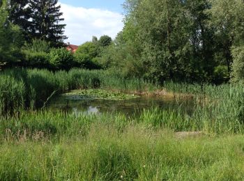
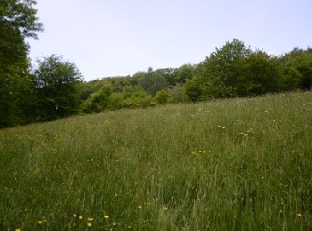
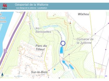
• Dans le Domaine de la Julienne, autour des étangs, dans les bois (Bois-le-Duc et Vert Bois) et le long du ruisseau St...
Marche
• bucolique
Marche
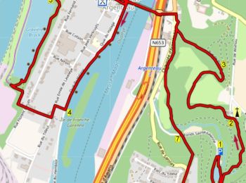
• Au départ de la gare, hormis la traversée de Visé et des quartiers de Richelle, cette balade entre la vallée mosane e...
Marche
• Le site Natura 2000 "Basse Meuse et Meuse mitoyenne" s’étend jusqu’à la frontière belgo-néerlandaise et représente un...
Marche
• Rondwandeling vanuit Argenteau 16km. Langs mijn van Blegny en vestingsstadje Dalhem. Opmerkingen? flip96@home.nl ...
Marche
Course à pied
• Bous Julienne

Course à pied
• Courte boucle sympathique

Marche
• campagnard
Marche
• Lundi 4 mars 2024 : Balade hebdomadaire des "BIOS". C'est sous une belle météo printanière que notre guide du jour, ...
A pied
• Le massif calcaire de la Montagne Saint-Pierre se situe à la frontière des Pays-Bas, de la Flandre et de la Wallonie....
A pied
• Het kalkmassief van de Sint-Pietersberg ligt op de grens van Nederland, Vlaanderen en Wallonië. Dit is een unieke str...
Marche
• Marche nature

Marche
• Tour entre Belgique et Pays-Bas, autour de la séparation du canal Albert et de la Meuse, parmi les carrières et autou...

Marche
• Au départ de la gare, hormis la traversée de Visé et des quartiers de Richelle, cette balade entre la vallée mosane e...

Marche
• petit tour facile
Marche
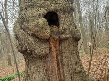
• Au cours de cette promenade surprenante au milieu de forêts en forte pente, vous montez un chemin forestier difficile...
Marche nordique
• Belle balade de 8.5 Kms autour des etangs de la julienne. Quelques bons petits dénivellés....
Marche
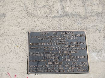
• Lanaye est une section de la commune de Visé dans la province de Liège. (Code postal: 4600). Lanaye se trouve sur l...
20 randonnées affichées sur 213
Application GPS de randonnée GRATUITE
 SityTrail
IGN / Instituts géographiques
SityTrail World
Le monde est à vous