


22 km | 28 km-effort
Hamoir : découvrez les meilleures randonnées : 16 a pied, 201 marche, 5 marche nordique et 3 course à pied. Tous ces circuits, parcours, itinéraires et activités en plein air sont disponibles dans nos applications SityTrail pour smartphones et tablettes.

Marche


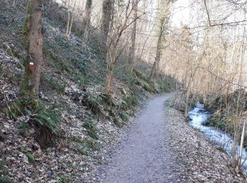
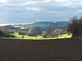
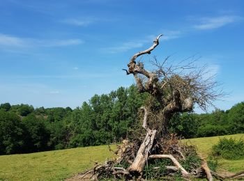
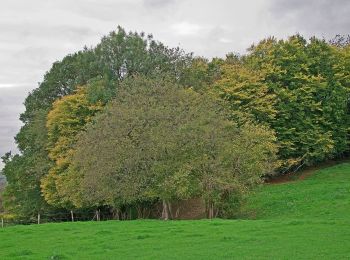
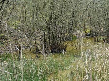
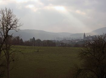
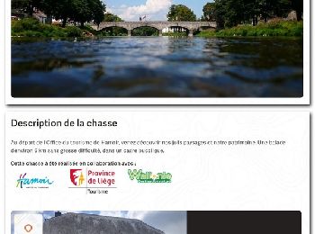
• Entre Ardennes et Condroz, cette randonnée autour de Hamoir offre des environnements variés : champs, bois, prairies,...
Marche
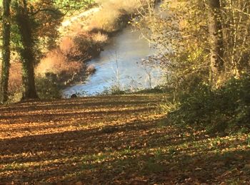
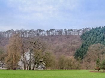
• Coup de coeur. Magnifique balade au départ de Hamoir le long du Néblon puis sur les crêtes. Ne pas faire trop tôt en ...
Marche

Marche
• Entre Ardennes et Condroz, cette randonnée autour de Hamoir offre des environnements variés : champs, bois, prairies,...
Marche
• Entre Ardennes et Condroz, cette randonnée autour de Hamoir offre des environnements variés : champs, bois, prairies,...
Marche
Marche
Marche
• Très belle balade un peu long je
A pied
• Randonnée créée par Office du Tourisme de Hamoir.
A pied
• Randonnée créée par Office du Tourisme de Hamoir.
A pied
• Randonnée créée par Office du Tourisme de Hamoir.
A pied
• Randonnée créée par Office du Tourisme de Hamoir.
A pied
• Randonnée créée par Office du Tourisme de Hamoir.
A pied
• Randonnée créée par Ourthe Vesdre Amblève. Prendre la direction de Lassus. Emprunter le sentier sur la gauche qui...
Marche
• Samedi 3 juillet 2021 : Balade TOTEMUS au départ de l'Office du Tourisme de HAMOIR sous une météo sèche mais un peu l...
Marche
• Magnifique parcours avec de nombreux panoramas. 2 boucles : 13,6 km ou 16,2 km. 📌 Camping Le Rocher de la Vierge, ro...

Marche
• marche roller coaster
Marche
• Parcours aise, sauf une très forte montée au début.
Marche
• très belle et difficile
Marche
• Itinéraire complémentaire. Plutôt que de vous rendre à Barvaux vous pouvez vous arrêter à Bomal en passant par le Bel...
20 randonnées affichées sur 225
Application GPS de randonnée GRATUITE
 SityTrail
IGN / Instituts géographiques
SityTrail World
Le monde est à vous