


22 km | 29 km-effort
Trois-Ponts : découvrez les meilleures randonnées : 49 a pied, 181 marche, 7 marche nordique, 12 course à pied et 8 trail. Tous ces circuits, parcours, itinéraires et activités en plein air sont disponibles dans nos applications SityTrail pour smartphones et tablettes.

Marche


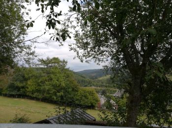
• Cette randonnée prend son départ à Wanne, petit village perché à 480 mètres d’altitude, sur les hauteurs de Trois-Pon...
Marche
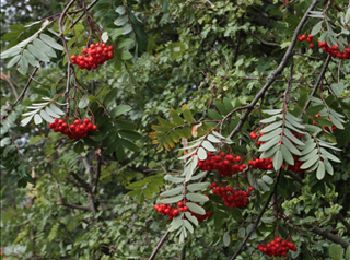
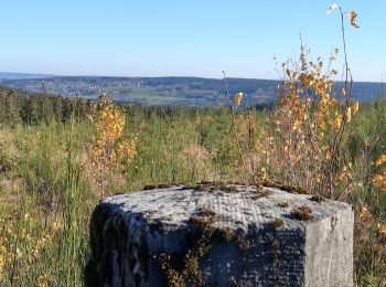
• Les alentours de Trois-Ponts et de Coo sont essentiellement forestiers. Le relief accentué y met en exergue de nombre...
Marche
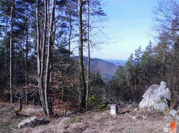
• Cette promenade sylvestre vous mène à 599 m d’altitude. Vous surplomberez ainsi la région et rencontrerez des milieux...

Marche
• Les alentours de Trois-Ponts et de Coo sont essentiellement forestiers. Le relief accentué y met en exergue de nombre...
Marche
Marche
• tracé modifié pour éviter le trop plein d asphalte...
Marche
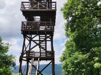
• Promenade vers la tour Leroux 🌳❤️ 🅿️ Départ et Parking: Place de la Gare 4980 Trois-Ponts 🚶Niveau modéré ▶️ Suivr...
A pied
• Randonnée créée par RSI de Trois-Ponts.
A pied
• Randonnée créée par RSI de Trois-Ponts.
A pied
• Randonnée créée par RSI de Trois-Ponts.
A pied
• Randonnée créée par RSI de Trois-Ponts.
A pied
• Randonnée créée par RSI de Trois-Ponts.
A pied
• Randonnée créée par RSI de Trois-Ponts.
Marche
• Vendredi 12 novembre 2021 Une nouvelle jolie découverte TOTEMUS au départ de TROIS-PONTS. C'est sous un soleil automn...
Marche
• Cette randonnée prend son départ à Wanne, petit village perché à 480 mètres d’altitude, sur les hauteurs de Trois-Pon...

Marche
• Départ du parking au pied de Rochelinval.
Marche
• More information on : http://www.wandelgidszuidlimburg.com
Marche
• Magnifique rando ! Paysages variés, sportifs 🥾
Marche
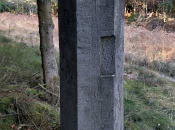
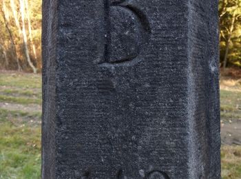
• Belle rando avec beaux points de vue et vieilles bornes frontière belgo prusse
Marche
20 randonnées affichées sur 254
Application GPS de randonnée GRATUITE
 SityTrail
IGN / Instituts géographiques
SityTrail World
Le monde est à vous