


14,9 km | 18,9 km-effort
Bassenge : découvrez les meilleures randonnées : 25 a pied, 148 marche, 5 marche nordique et 1 course à pied. Tous ces circuits, parcours, itinéraires et activités en plein air sont disponibles dans nos applications SityTrail pour smartphones et tablettes.
Marche


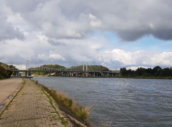
• Boucle qui part du village d'Eben pour aller jusqu'au très beau village de Kanne et son port.
Marche
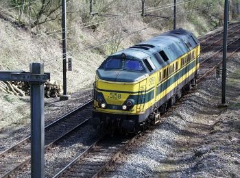
• Point de départ et de retour :le petit Lourdes a Bassenge, un tunnel de chemin de fer construit durant la guerre 14/1...
Marche
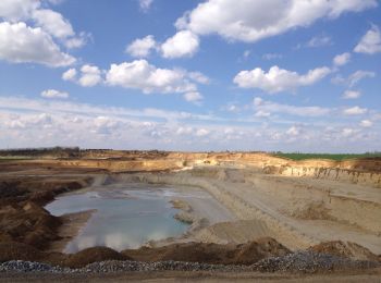
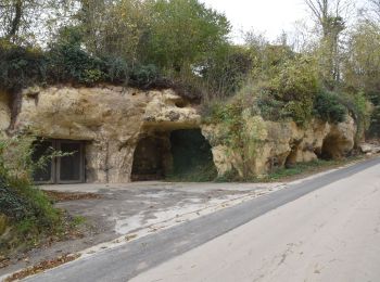
• RF-LG-01 - Raccourci - Dans la réserve naturelle de la montagne Saint-Pierre.Dans quel type de paysage randonnons-nou...
Marche
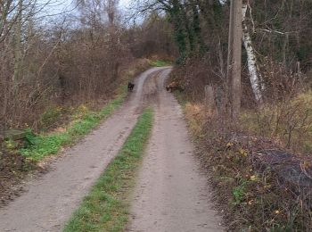
• bois chemin route et prairie magnifique
Marche
A pied
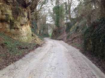
• Le massif calcaire de la Montagne Saint-Pierre se situe à la frontière des Pays-Bas, de la Flandre et de la Wallonie....
A pied
• Le massif calcaire de la Montagne Saint-Pierre se situe à la frontière des Pays-Bas, de la Flandre et de la Wallonie....
A pied
• Le massif calcaire de la Montagne Saint-Pierre se situe à la frontière des Pays-Bas, de la Flandre et de la Wallonie....
A pied
• Le massif calcaire de la Montagne Saint-Pierre se situe à la frontière des Pays-Bas, de la Flandre et de la Wallonie....
A pied
• Le massif calcaire de la Montagne Saint-Pierre se situe à la frontière des Pays-Bas, de la Flandre et de la Wallonie....
A pied
• Het kalkmassief van de Sint-Pietersberg ligt op de grens van Nederland, Vlaanderen en Wallonië. Dit is een unieke str...
Marche
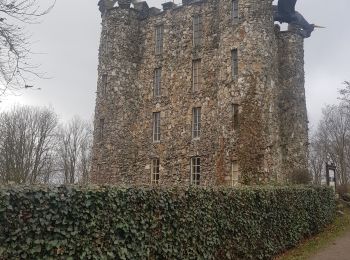
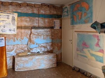
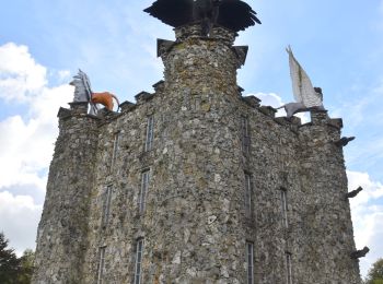
• Dimanche 31 octobre 2021 : Journée HUWAO Visite de laTour Eben-Ezer avec une guide très sympathique qui remplit vraie...
Marche
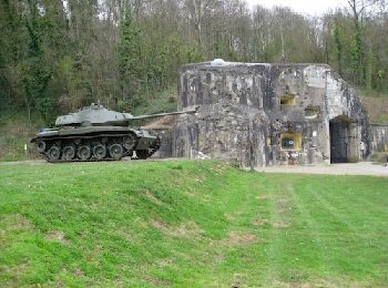
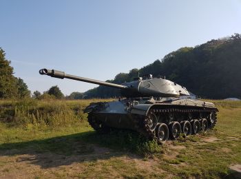
• Une belle rando dans la réserve naturelle de la Montagne St Pierre. 📌 du Fort d'Eben-Emael
Marche
• Circuit en boucle, sans balisage, au départ des environs immédiat du Moulin du Broukay passant devant la Tour de Eben...
Marche
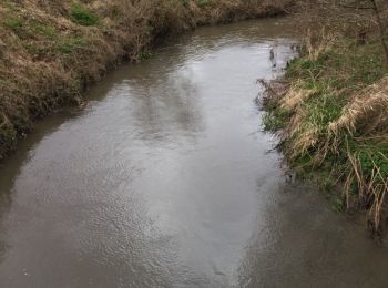
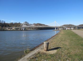
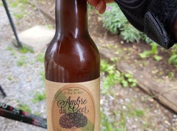
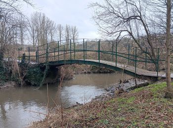
• Superbe boucle dans la vallée du Geer. 📌 🅿️ de la Passerelle, chemin du Tram 2 à Bassenge. 🥤🍽 Moulin du Broukay à...
Marche
• Beau parcours transfrontalier avec de beaux points de vue. D/A : parking du fort d'Eben et du moulin Loverix (bonne c...

Marche
Marche
Marche
Marche
• Cette balade est vraiment agréable on traverse des campagnes , des bois , des chemins de ravel, une réserve naturelle...
20 randonnées affichées sur 179
Application GPS de randonnée GRATUITE
 SityTrail
IGN / Instituts géographiques
SityTrail World
Le monde est à vous