


7,9 km | 10,4 km-effort
Nandrin : découvrez les meilleures randonnées : 6 a pied, 148 marche, 6 marche nordique, 3 course à pied et 18 trail. Tous ces circuits, parcours, itinéraires et activités en plein air sont disponibles dans nos applications SityTrail pour smartphones et tablettes.
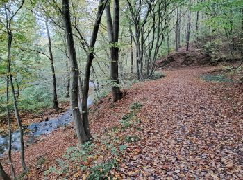
Marche


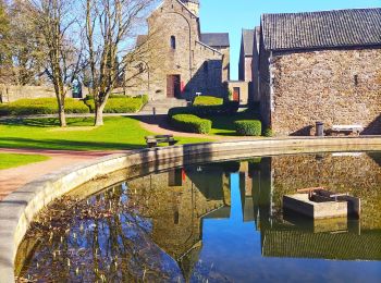
Marche
• boueux ...

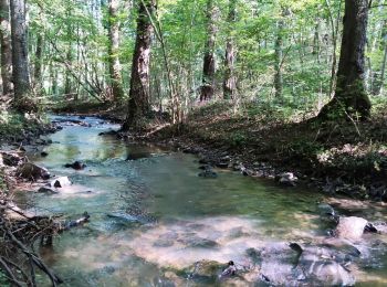
Marche
• Superbe balade avec beaux chemins dans des bois majestueux. Comprend un petit passage de 200 ou 300 m sur la N696 trè...
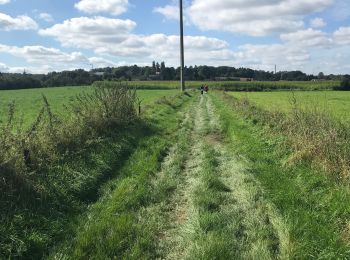
Marche
• Ballade calme et reposante dans les bois de Fraiture et Favence au départ de Nandrin.

Marche nordique
•
Marche
• Jolie promenade avec pas mal de dénivelé quand même. Peu de route à part 200m aux fonds d'Oxhe et une petite partie d...
Marche
Marche

A pied
• Randonnée créée par Terres-de-Meuse. Un parcours mixte, entre sentiers étroits, chemins forestiers et parties asp...
Marche
• 🅿️ Départ et Parking: Eglise Saints Pierre et Paul Rue d’Engihoul 4550 Nandrin ▶️ Suivre la balise « Losange bleu »...
Marche
• 🅿️ Départ et Parking: Eglise Saint-Pierre Rue de la tourette 4550 Nandrin ▶️ Suivre la balise « rectangle rouge » L...
Marche
• Marche Adeps à Nandrin
Marche
• Facile
Marche
A pied
• Magnifiques endroits pour une petite promenade tranquille en val d'oxhe
Marche nordique
Marche
Marche nordique
• bout de la reine de Bourgogne à nandrin
Marche
Marche
• adeps
20 randonnées affichées sur 178
Application GPS de randonnée GRATUITE
 SityTrail
IGN / Instituts géographiques
SityTrail World
Le monde est à vous