


3,3 km | 7,8 km-effort
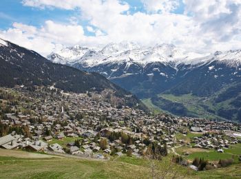
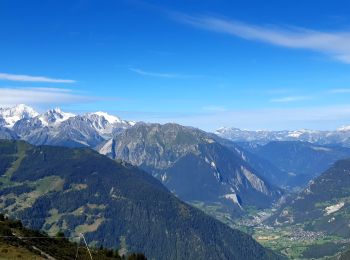
Val de Bagnes : découvrez les meilleures randonnées : 22 a pied, 51 marche et 2 course à pied. Tous ces circuits, parcours, itinéraires et activités en plein air sont disponibles dans nos applications SityTrail pour smartphones et tablettes.
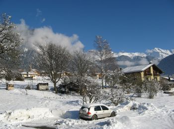
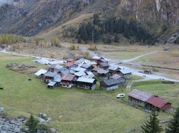
A pied


• Randonnée créée par Valrando.
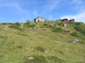
A pied
• Randonnée créée par Valrando.
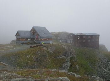
A pied
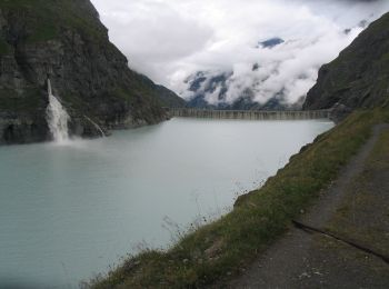
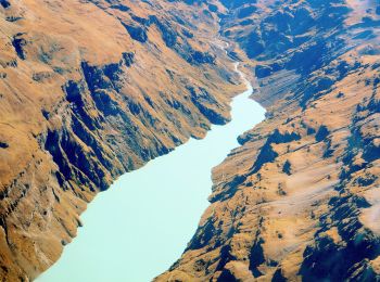
• Barrage de Mauvoisin - Le Pleureur Symbole: blue:line
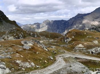
A pied
• Randonnée créée par Valrando.
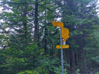
A pied
• Symbole: gelbe Raute
A pied
• Symbole: weiss-rot-weiss
A pied
• Symbole: gelbe Raute
A pied
• Symbole: weiss-rot-weiss
A pied
• Symbole: weiss-rot-weiss
Marche
• Trek
Marche
• Trek de 10 jours dans le Valais suisse avec Mettons le Monde en Marche. Parcours de la Haute Route Chamonix-Zermatt a...
A pied
A pied
A pied
• Randonnée créée par Valrando.
A pied
• Randonnée créée par Valrando. Symbole: gelbe Raute
A pied
• Symbole: weiss-rot-weiss
A pied
• Symbole: gelbe Raute
A pied
Marche
• 2 cols en altitude passés sous la neige !
Marche
• Trek de 10 jours dans le Valais suisse avec Mettons le Monde en Marche. Parcours de la Haute Route Chamonix-Zermatt a...
20 randonnées affichées sur 75
Application GPS de randonnée GRATUITE
 SityTrail
IGN / Instituts géographiques
SityTrail World
Le monde est à vous