


3,3 km | 7,8 km-effort
Val de Bagnes: Descubra las mejores excursiones: 22 a pie, 51 senderismo y 2 carrera. Todos estos circuitos, recorridos, itinerarios y actividades al aire libre están disponibles en nuestras aplicaciones SityTrail para smartphone y tablet.
A pie


• Trail created by Valrando.
A pie
• Trail created by Valrando.
A pie
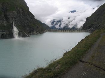
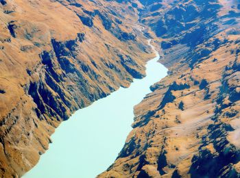
• Barrage de Mauvoisin - Le Pleureur Symbol: blue:line
A pie
• Trail created by Valrando.
A pie
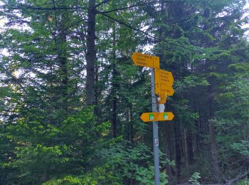
• Symbol: gelbe Raute
A pie
• Symbol: weiss-rot-weiss
A pie
• Symbol: gelbe Raute
A pie
• Symbol: weiss-rot-weiss
A pie
• Symbol: weiss-rot-weiss
Senderismo
Senderismo
A pie
A pie
A pie
• Trail created by Valrando.
A pie
• Trail created by Valrando. Symbol: gelbe Raute
A pie
• Symbol: weiss-rot-weiss
A pie
• Symbol: gelbe Raute
A pie
Senderismo
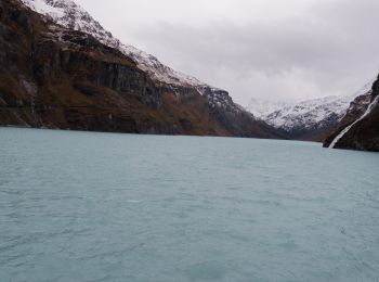
• 2 cols en altitude passés sous la neige !
Senderismo
20 excursiones mostradas en 75
Aplicación GPS de excursión GRATIS
 SityTrail
IGN / Institutos geográficos
SityTrail World
El mundo es suyo