


15,3 km | 21 km-effort
Saint-Hubert : découvrez les meilleures randonnées : 24 cheval et 9 randonnée équestre. Tous ces circuits, parcours, itinéraires et activités en plein air sont disponibles dans nos applications SityTrail pour smartphones et tablettes.

Randonnée équestre


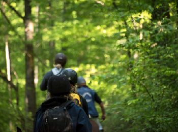
Cheval
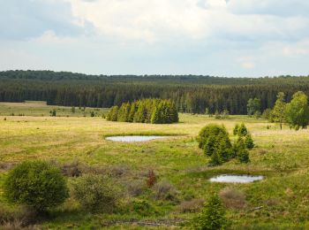
• Cette boucle vous emmène au cœur de la magnifique forêt domaniale de Saint-Michel-Freyr, qui fait l’objet d’un projet...
Cheval
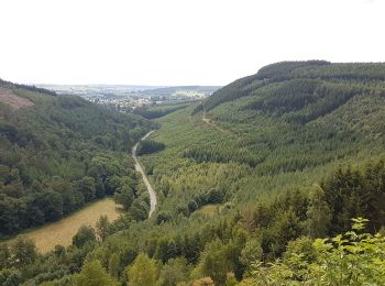
• Grâce à cet itinéraire, vous surplombez la vallée de l’Ourthe occidentale, que vous pouvez admirer depuis quelques be...
Cheval
• Cette grande boucle tourne autour de la ville de Saint-Hubert. Elle vous invite à partir à la découverte de milieux ...
Cheval
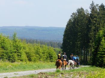
• Avec ses 168 km, la Chevauchée forestière est la randonnée idéale pour une véritable immersion de plusieurs jours au ...
Cheval
Randonnée équestre
Randonnée équestre
Randonnée équestre
• Rando équestre
Randonnée équestre
• gedeelte van de chevauchée forestiere
Randonnée équestre
• Met zijn 168 km is de Chevauchée forestière de ideale trektocht waarmee u in een paar dagen het wilde gevoel van het ...
Cheval
Cheval
Cheval
Cheval
• Poix St Hubert - Libramont
Cheval
•
Randonnée équestre
Randonnée équestre
Randonnée équestre
Cheval
20 randonnées affichées sur 33
Application GPS de randonnée GRATUITE
 SityTrail
IGN / Instituts géographiques
SityTrail World
Le monde est à vous