


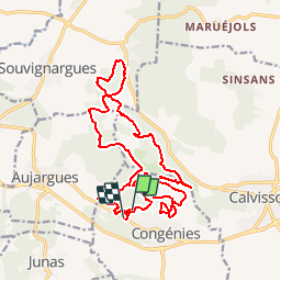

13,8 km | 17,2 km-effort

Utilisateur


Application GPS de randonnée GRATUITE
 SityTrail
IGN / Instituts géographiques
SityTrail World
Le monde est à vous
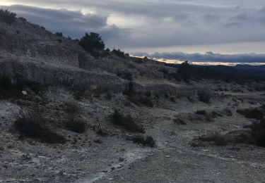
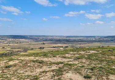
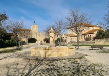
Randonnée Course à pied de 21 km à découvrir à Occitanie, Gard, Congénies. Cette randonnée est proposée par tracegps.
Course mixte, plus de détails ICI


Marche

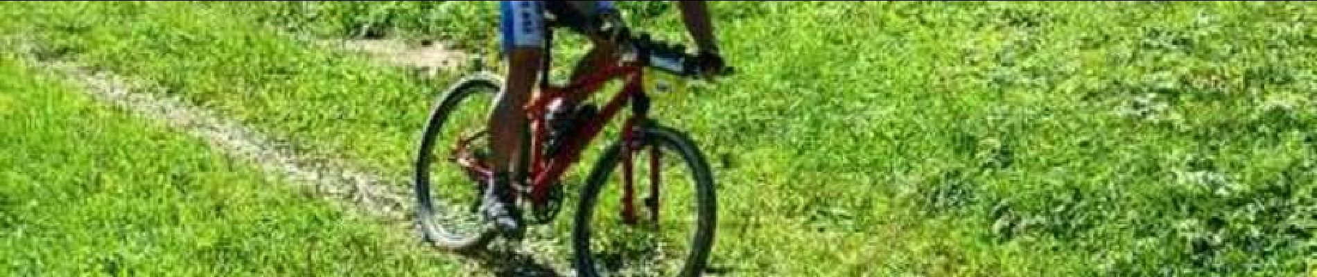
V.T.T.

Marche

Marche
Marche
Marche
Marche
Marche