


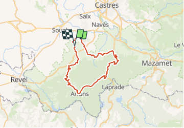

7,6 km | 12,1 km-effort


Utilisateur


Application GPS de randonnée GRATUITE
 SityTrail
IGN / Instituts géographiques
SityTrail World
Le monde est à vous
Randonnée Vélo de 56 km à découvrir à Occitanie, Tarn, Verdalle. Cette randonnée est proposée par tracegps.
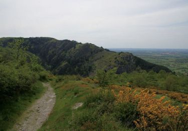
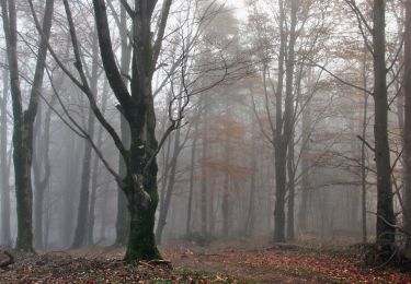
Circuit au départ de Verdalle avec mise en jambe dans le piémont. Les choses sérieuses commences au carrefour des Gaux jusqu'à Fonbruno. Du repos ensuite jusqu'à Arfons. Petit "coup de cul" pour remonter à Montalric et enfin descente rapide pour rejoindre Verdalle par Dourgne et Massaguel.
Marche

Vélo électrique
Marche
V.T.T.
Marche
Marche