


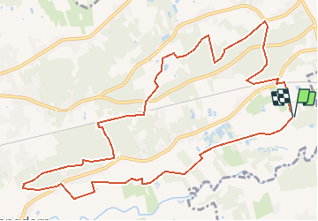


6,9 km | 7,8 km-effort


Utilisateur


Application GPS de randonnée GRATUITE
 SityTrail
IGN / Instituts géographiques
SityTrail World
Le monde est à vous
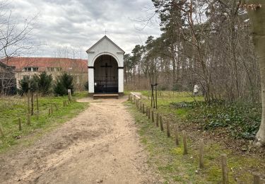
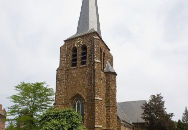
Randonnée Marche de 12,1 km à découvrir à Flandre, Brabant flamand, Aerschot. Cette randonnée est proposée par decoger.
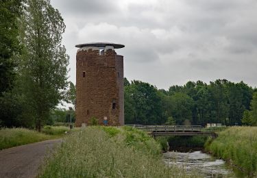
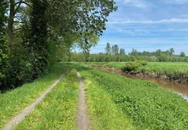
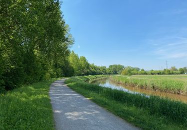
De oever van de Demer nodigt uit voor een stevige wandeling in het groen. Bewonder de Heimolen en de Testeltse watermolen, speur naar het leven in de Demerbroeken en het natuurgebied Molenheide.
A pied
A pied
A pied
A pied
Marche
Marche
Marche
Marche
A pied