


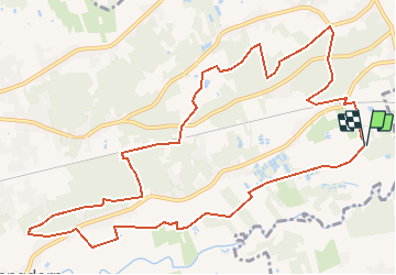


6.9 km | 7.8 km-effort


User


FREE GPS app for hiking
 SityTrail
IGN / Geographical institutes
SityTrail World
The world is yours!
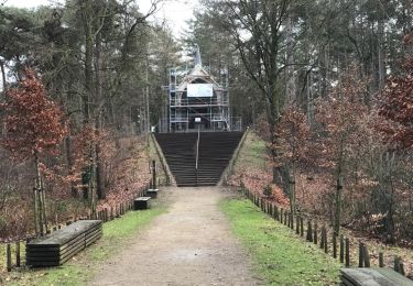
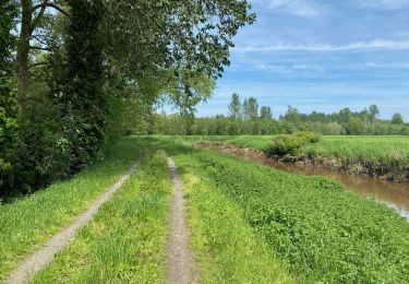
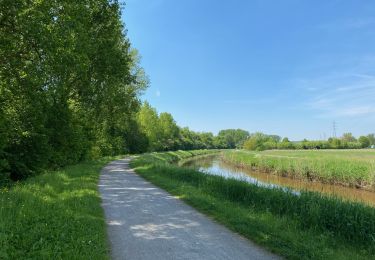
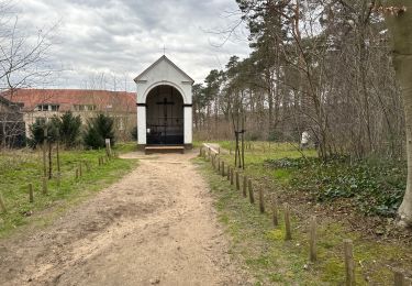
Trail Walking of 12.1 km to be discovered at Flanders, Flemish Brabant, Aarschot. This trail is proposed by decoger.
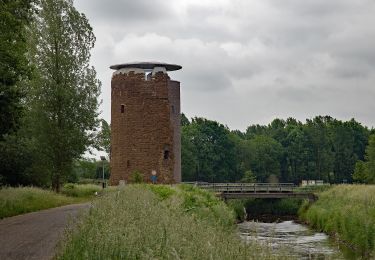
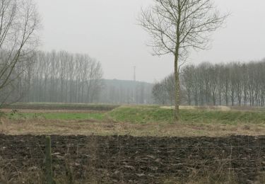
De oever van de Demer nodigt uit voor een stevige wandeling in het groen. Bewonder de Heimolen en de Testeltse watermolen, speur naar het leven in de Demerbroeken en het natuurgebied Molenheide.
On foot
On foot
On foot

On foot
Walking
Walking
Walking
Walking

On foot