


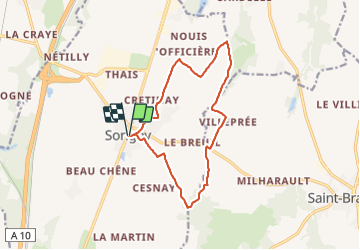

13,7 km | 15 km-effort

Utilisateur


Application GPS de randonnée GRATUITE
 SityTrail
IGN / Instituts géographiques
SityTrail World
Le monde est à vous
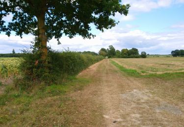
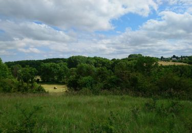
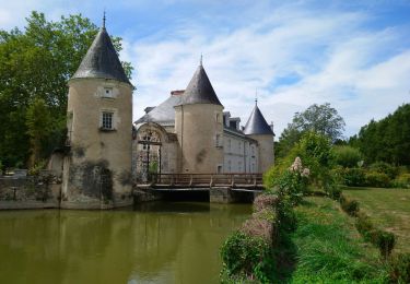
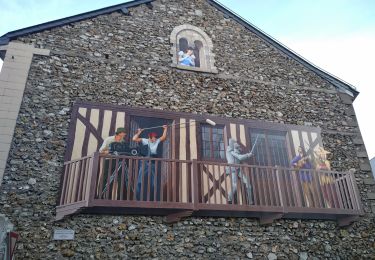
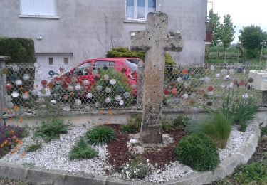
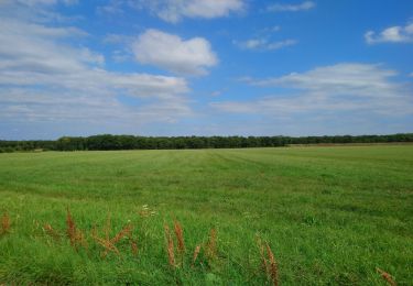
Randonnée Marche de 13,1 km à découvrir à Centre-Val de Loire, Indre-et-Loire, Sorigny. Cette randonnée est proposée par Orcal37.
Sorigny - GR655 vers le nord - 13.1km 70m 2h45 - 2018 04 20


Marche
Marche
Marche
Marche
Marche
Marche
Marche
Marche
Marche