


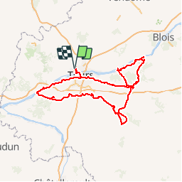


13,6 km | 14,7 km-effort


Utilisateur


Application GPS de randonnée GRATUITE
 SityTrail
IGN / Instituts géographiques
SityTrail World
Le monde est à vous
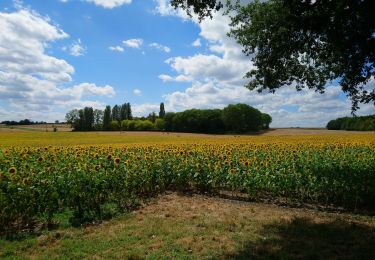
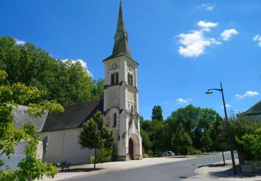
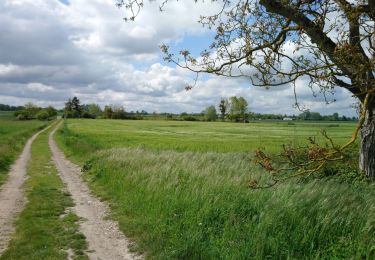
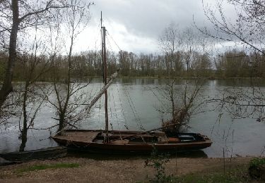
Randonnée V.T.T. de 257 km à découvrir à Centre-Val de Loire, Indre-et-Loire, Saint-Cyr-sur-Loire. Cette randonnée est proposée par abemar75.
Parcours VTC TourainesChateaux de La Loire

Marche
Marche
Marche
Pêche
Marche
Marche
Marche

Raquettes à neige
Marche