


5,8 km | 7,9 km-effort

Utilisateur


Application GPS de randonnée GRATUITE
 SityTrail
IGN / Instituts géographiques
SityTrail World
Le monde est à vous
Randonnée Marche de 12,9 km à découvrir à Grand Est, Aube, Paisy-Cosdon. Cette randonnée est proposée par Daneel-89.
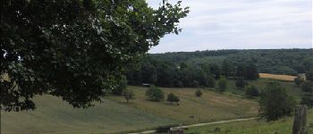
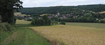
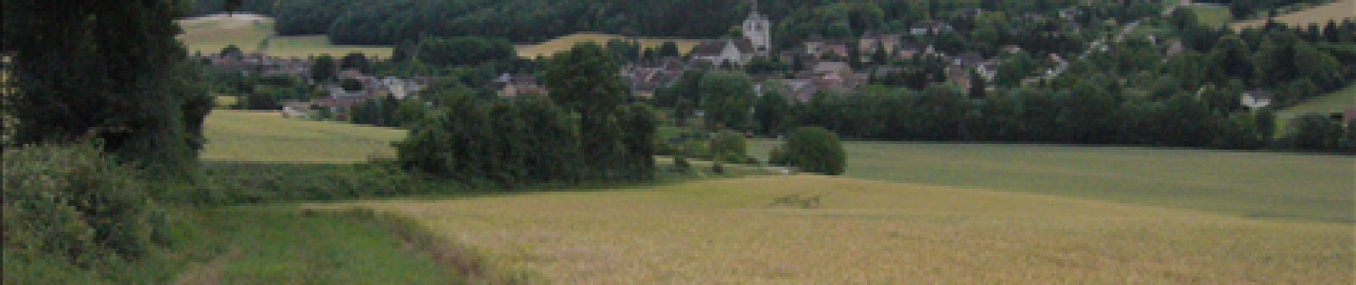
Jolie ballade sympa, toute simple mais avec de jolies vues.
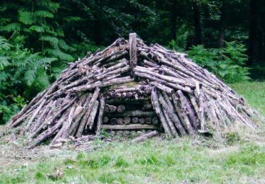
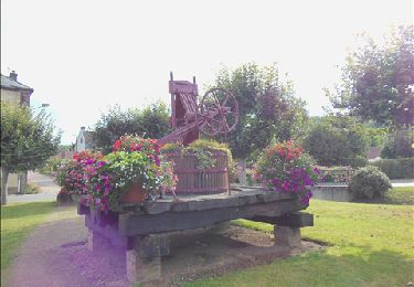
 2011 - Photo 1")
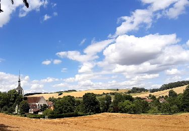
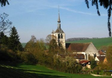
 2011 - Photo 2")
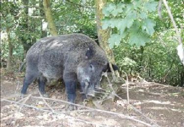
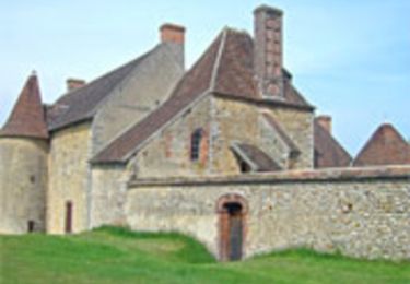
 2011 - Photo 3")
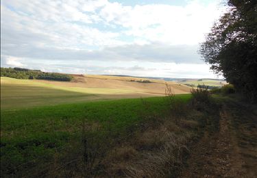
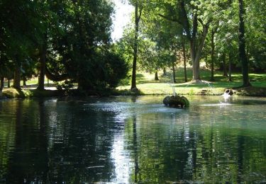
 2011 - Photo 4")
 2011 - Photo 5")
 2011 - Photo 6")
 2011 - Photo 7")
 2011 - Photo 8")
Marche

A pied
Marche
Marche
Marche
Vélo
Marche
Marche