


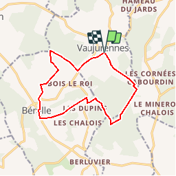


5,8 km | 7,9 km-effort


Gebruiker


Gratisgps-wandelapplicatie
 SityTrail
IGN / Geografische instituten
SityTrail World
De wereld gaat voor u open
Tocht Stappen van 12,9 km beschikbaar op Grand Est, Aube, Paisy-Cosdon. Deze tocht wordt voorgesteld door Daneel-89.
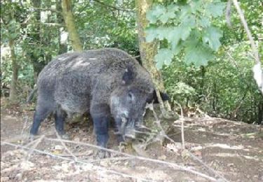
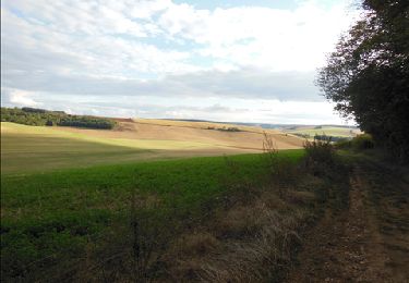
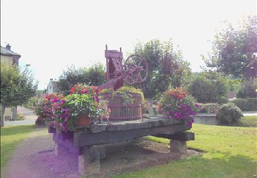
Jolie ballade sympa, toute simple mais avec de jolies vues.
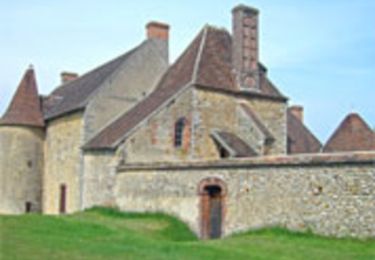
 2011 - Photo 1")
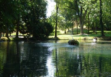
 2011 - Photo 2")
 2011 - Photo 3")
 2011 - Photo 4")
 2011 - Photo 5")
 2011 - Photo 6")
 2011 - Photo 7")
 2011 - Photo 8")

Stappen


Te voet
Stappen
Stappen
Stappen

Fiets
Stappen
Stappen