


69 km | 75 km-effort


Utilisateur


Application GPS de randonnée GRATUITE
 SityTrail
IGN / Instituts géographiques
SityTrail World
Le monde est à vous
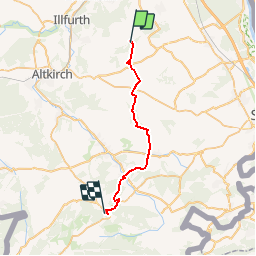
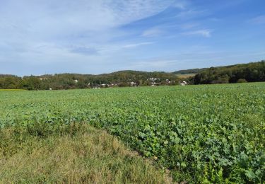
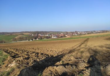
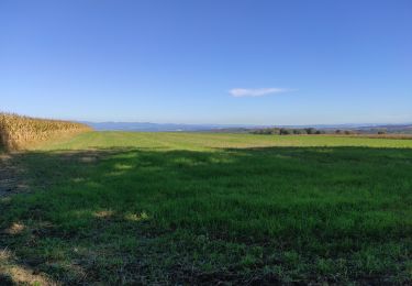
Randonnée Marche de 26 km à découvrir à Grand Est, Haut-Rhin, Steinbrunn-le-Haut. Cette randonnée est proposée par jjjadef.
Un beau souvenir de paysages, d'histoire et de spiritualité.
Merci Alain
(François)

Vélo électrique
Marche
Marche
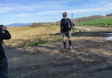
Marche
Marche
Marche

Marche
Marche