


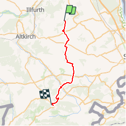

69 km | 75 km-effort


User


FREE GPS app for hiking
 SityTrail
IGN / Geographical institutes
SityTrail World
The world is yours!
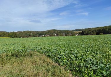
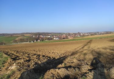
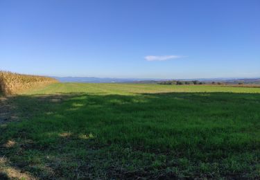
Trail Walking of 26 km to be discovered at Grand Est, Haut-Rhin, Steinbrunn-le-Haut. This trail is proposed by jjjadef.
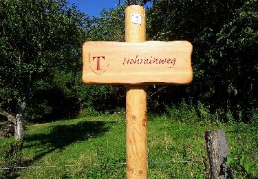
Un beau souvenir de paysages, d'histoire et de spiritualité.
Merci Alain
(François)

Electric bike
Walking
Walking
Walking
Walking
Walking
Walking

Walking
Walking