


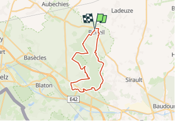


16,3 km | 18,3 km-effort

Randonnez sur et autour des GR ® wallons (Sentiers de Grande Randonnée). PRO


Application GPS de randonnée GRATUITE
 SityTrail
IGN / Instituts géographiques
SityTrail World
Le monde est à vous
Randonnée Marche de 23 km à découvrir à Wallonie, Hainaut, Belœil. Cette randonnée est proposée par GR Rando.
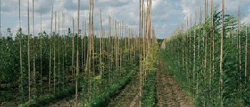
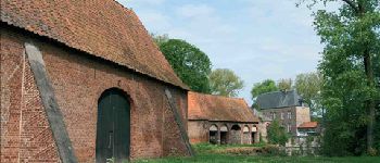
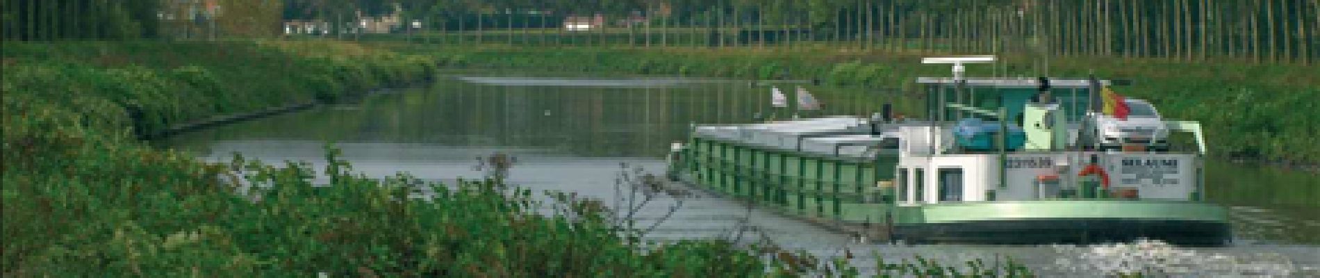
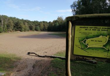
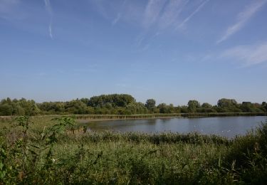
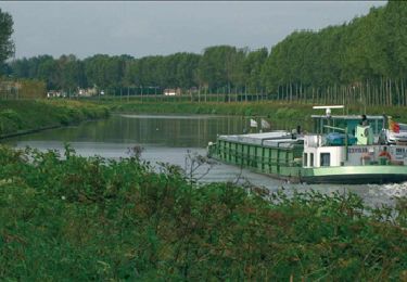
La randonnée fait la part belle aux terres ancestrales des princes de Ligne, propriétaires du château de Beloeil depuis le 14e siècle. Principalement forestier, l’itinéraire vous fera traverser la forêt de Stambruges, sa Mer de Sable et les vastes bois attenant à la demeure princière. Le château est un chef-d’œuvre classique du 18e et est entouré de magnifiques jardins à la française.


Marche

Marche
Marche
Marche

Cheval

A pied

A pied
Marche
Marche
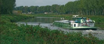
mooie tocht, mooie natuur, maar soms lange stukken verhard zeker langs water.