


22 km | 26 km-effort


Utilisateur


Application GPS de randonnée GRATUITE
 SityTrail
IGN / Instituts géographiques
SityTrail World
Le monde est à vous
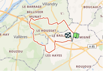
Randonnée Marche de 14 km à découvrir à Centre-Val de Loire, Indre-et-Loire. Cette randonnée est proposée par Orcal37.
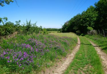
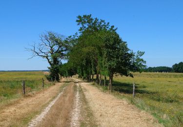
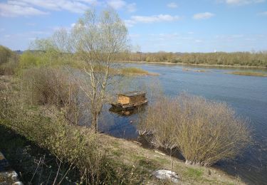
Druye - Sentier du menhir - 14km 95m 2h50 - 2019 08 03


Marche
Marche
Marche

Marche

Marche
Marche
Marche

Marche
A pied