Randonnée Marche Val-de-Sos - 171005 EnCours - Photo
 randodan
randodan

Utilisateur

© OpenStreetMap contributors
Longueur
Longueur
7 km
Altitude max
Altitude max
962 m
Dénivelé positif
Dénivelé positif
256 m
Km-Effort
Km-Effort  
10,4 km
Altitude min
Altitude min
724 m
Dénivelé négatif
Dénivelé négatif
251 m
Boucle
Boucle
Oui
Date de création :
2018-04-17 10:07:43.845
Dernière modification :
2018-04-17 10:07:43.845

(0 Avis)

Marche
Marche
3h40
Difficulté : Inconnu

Scannez ce code QR pour ouvrir la randonnée dans l'application SityTrail

Application GPS de randonnée GRATUITE

Logo SityTrail SityTrail

IGN / Instituts géographiques

Télécharger SityTrail sur l'App Store Télécharger SityTrail sur Google Play

Logo SityTrail SityTrail World

Le monde est à vous

Télécharger SityTrail sur l'App Store Télécharger SityTrail sur Google Play Télécharger SityTrail sur Huawei AppGallery

À propos

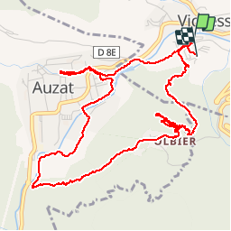
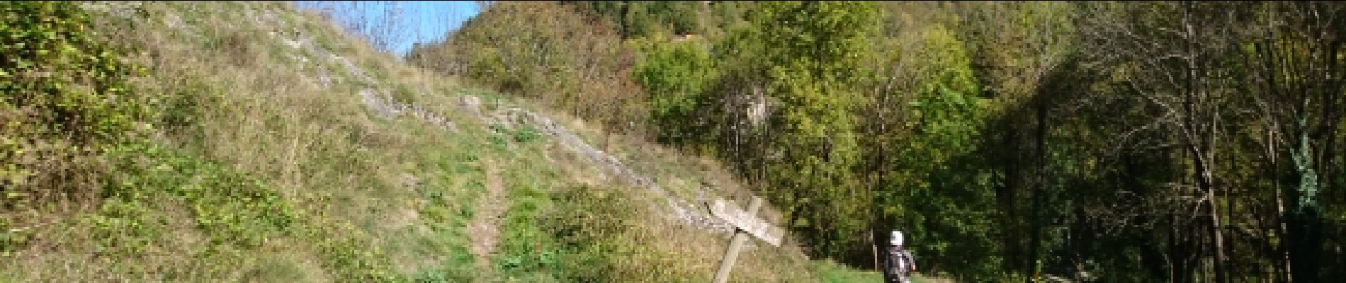
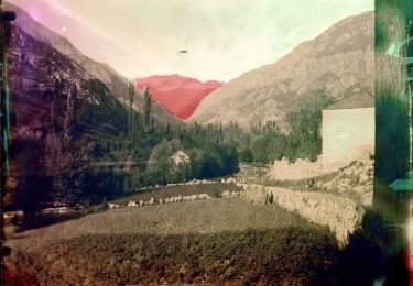
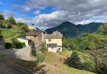
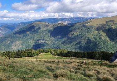
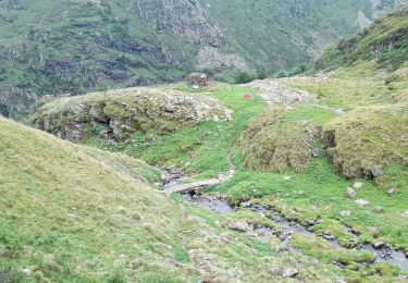
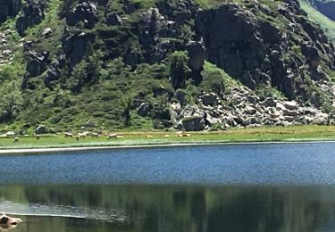
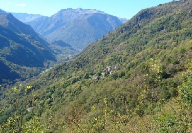
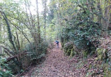
Randonnée Marche de 7 km à découvrir à Occitanie, Ariège, Val-de-Sos. Cette randonnée est proposée par randodan.

Description

- 5 octobre - Château de Montréal (3e virée) -<br>En cours

Profil altimétrique

Photos

Localisation

Pays :
France
Région :
Occitanie
Département/Province :
Ariège
Commune :
Val-de-Sos
Localité :
Unknown
Départ:(Dec)
Départ:(UTM)
376689 ; 4736222 (31T) N.

Randonnées à proximité

Randonnée A pied Val-de-Sos - Le Palet de Samsom - Photo
A pied
PRO

A pied

Facile
Val-de-Sos, Occitanie, Ariège, France
5,8 km | 10,3 km-effort
2h 20min
Oui
Randonnée A pied Illier-et-Laramade - D'Illier à Lapège - Photo
A pied
PRO

A pied

Facile
Illier-et-Laramade, Occitanie, Ariège, France
3,5 km | 5,3 km-effort
1h 11min
Non
Randonnée Marche Lercoul - Pic-de-garbie-de-bresoul-depuis-lercoul - Photo
Marche
chrisgps

Marche

Moyen
Lercoul, Occitanie, Ariège, France
14,7 km | 28 km-effort
6h 21min
Oui
Randonnée Marche Siguer - col côte 2239m - Photo
Marche
bellouelo46

Marche

Difficile
Siguer, Occitanie, Ariège, France
19,1 km | 38 km-effort
7h 46min
Oui
Randonnée Marche Siguer - Peyregrand - Neych - Photo
Marche
rolandariege

Marche

Difficile
Siguer, Occitanie, Ariège, France
19,2 km | 38 km-effort
9h 44min
Oui
Randonnée Marche Siguer - lac de Peyregrand - Photo
Marche
altaya

Marche

Moyen
Siguer, Occitanie, Ariège, France
13,2 km | 25 km-effort
5h 12min
Non
Randonnée Marche Illier-et-Laramade - 171009 EnCours - Photo
Marche
randodan

Marche

Très facile
Illier-et-Laramade, Occitanie, Ariège, France
7,9 km | 11,3 km-effort
3h 35min
Oui
Randonnée Marche Val-de-Sos - 171007 EnCours - Photo
Marche
randodan

Marche

Très facile
(1)
Val-de-Sos, Occitanie, Ariège, France
10,8 km | 17,1 km-effort
4h 50min
Oui
Randonnée Marche Auzat - 171006.1 EnCours - Photo
Marche
randodan

Marche

Très facile
Auzat, Occitanie, Ariège, France
3,3 km | 5,4 km-effort
1h 30min
Oui


Fermer
Mes abonnements