


4,6 km | 6,6 km-effort


Utilisateur


Application GPS de randonnée GRATUITE
 SityTrail
IGN / Instituts géographiques
SityTrail World
Le monde est à vous
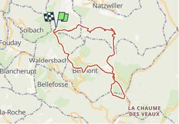
Randonnée Marche de 17,3 km à découvrir à Grand Est, Bas-Rhin, Wildersbach. Cette randonnée est proposée par BernardThiry.
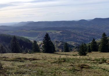
magnifique randonnée qui passe par Belmont Champ du Feu qui remonte le long des bois. Et redescend vers la cascade de la Serva retour au col


Marche
Randonnée équestre
Marche
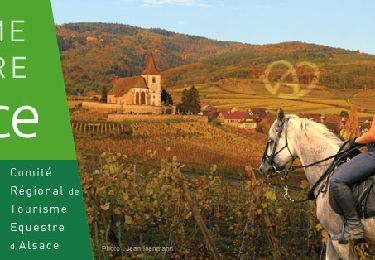
Randonnée équestre

Randonnée équestre
Marche
Raquettes à neige
Marche