


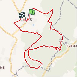

16,8 km | 22 km-effort

Utilisateur


Application GPS de randonnée GRATUITE
 SityTrail
IGN / Instituts géographiques
SityTrail World
Le monde est à vous
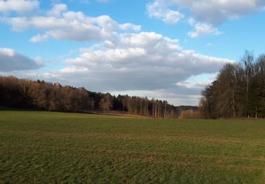
Randonnée Marche de 10,9 km à découvrir à Wallonie, Luxembourg, Durbuy. Cette randonnée est proposée par GerardBouche.
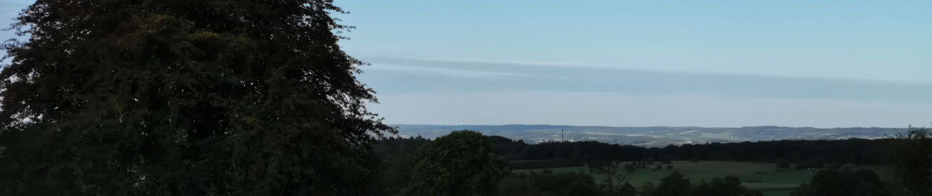
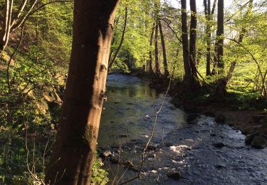
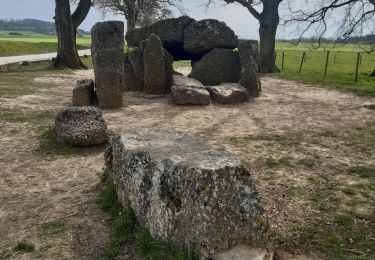
Wéris ... un très beau village bien connu pour ses menhirs et dolmens ! Une magnifique randonnée forestière par le Refuge du Brocard, la Haie du Greffier, la Haie d'Oppagne et le lieu dit " Pierre Bayard ".


Marche

Marche
Marche
Marche
Marche
Marche
Marche
Marche
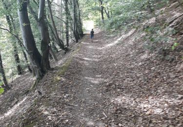
Superbe promenade dans une forêt magnifiée par la neige