


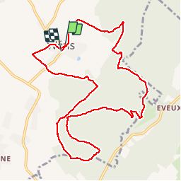

16.8 km | 22 km-effort

User


FREE GPS app for hiking
 SityTrail
IGN / Geographical institutes
SityTrail World
The world is yours!
Trail Walking of 10.9 km to be discovered at Wallonia, Luxembourg, Durbuy. This trail is proposed by GerardBouche.
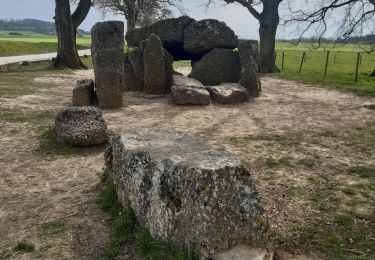
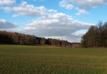
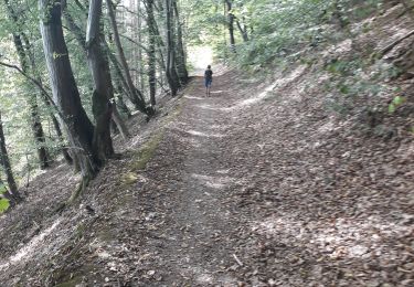
Wéris ... un très beau village bien connu pour ses menhirs et dolmens ! Une magnifique randonnée forestière par le Refuge du Brocard, la Haie du Greffier, la Haie d'Oppagne et le lieu dit " Pierre Bayard ".


Walking

Walking
Walking
Walking
Walking
Walking
Walking
Walking
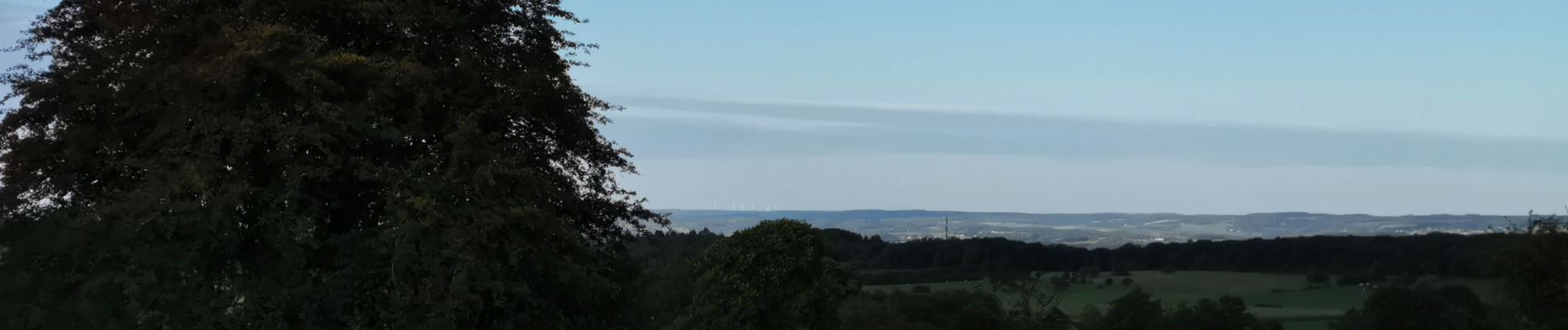
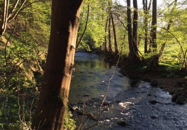
Superbe promenade dans une forêt magnifiée par la neige