


10,3 km | 12,6 km-effort

Utilisateur GUIDE


Application GPS de randonnée GRATUITE
 SityTrail
IGN / Instituts géographiques
SityTrail World
Le monde est à vous
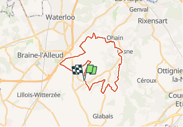
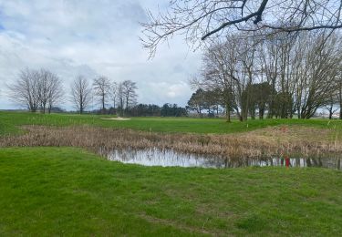
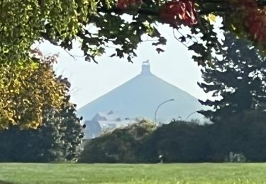
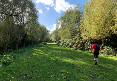
Randonnée V.T.T. de 28 km à découvrir à Wallonie, Brabant wallon, Lasne. Cette randonnée est proposée par pascalou73.
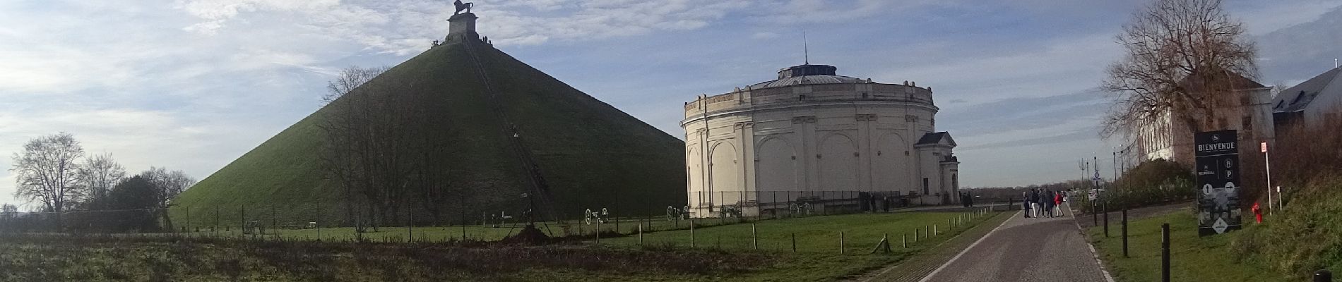
Voilà un VTT dans la région du Brabant Wallon .Une très belle région pour le VTT et la randonnée vous parcoure de très belle sentie de qualité et de belle petite ruelle .le retour se fait par le golf de Waterloo et son lion Voilà 29 km de pur plaisir.


Marche

Marche

Marche

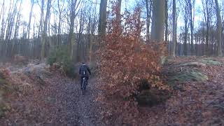
V.T.T.
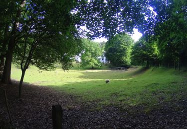
V.T.T.

V.T.T.
Marche
Marche
Marche
Merci pour votre randonnée VTT et vos photos !