


10.3 km | 12.6 km-effort

User GUIDE


FREE GPS app for hiking
 SityTrail
IGN / Geographical institutes
SityTrail World
The world is yours!
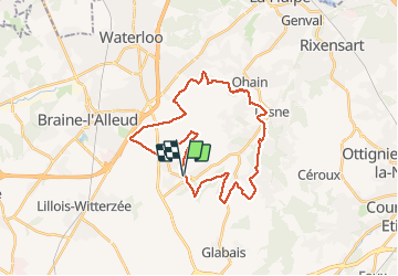
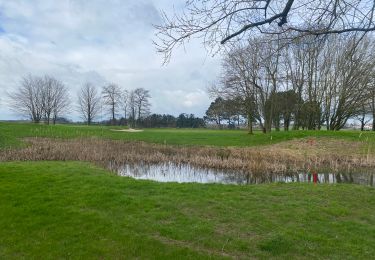
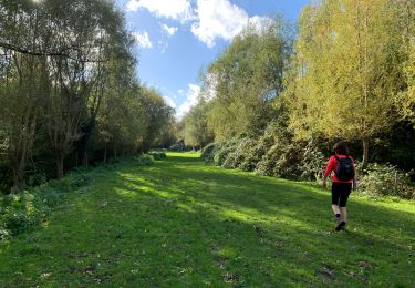
Trail Mountain bike of 28 km to be discovered at Wallonia, Walloon Brabant, Lasne. This trail is proposed by pascalou73.
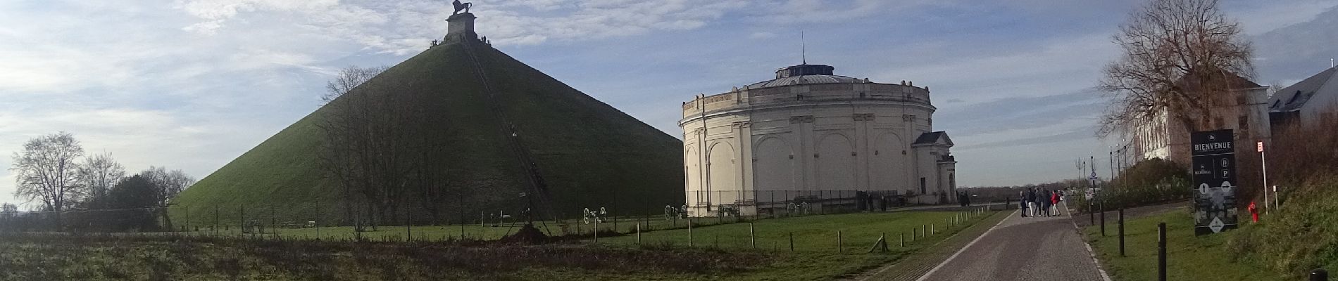
Voilà un VTT dans la région du Brabant Wallon .Une très belle région pour le VTT et la randonnée vous parcoure de très belle sentie de qualité et de belle petite ruelle .le retour se fait par le golf de Waterloo et son lion Voilà 29 km de pur plaisir.


Walking

Walking

Walking

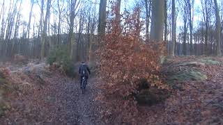
Mountain bike
Mountain bike

Mountain bike
Walking

Walking
Walking
Merci pour votre randonnée VTT et vos photos !