


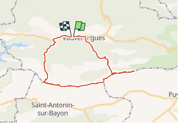

15,8 km | 28 km-effort

Utilisateur


Application GPS de randonnée GRATUITE
 SityTrail
IGN / Instituts géographiques
SityTrail World
Le monde est à vous
Randonnée Trail de 15,9 km à découvrir à Provence-Alpes-Côte d'Azur, Bouches-du-Rhône, Vauvenargues. Cette randonnée est proposée par Olivier69XC.
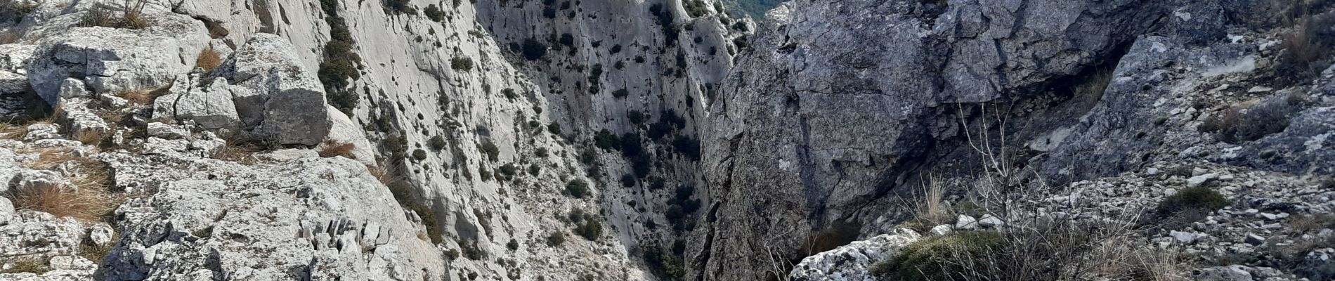
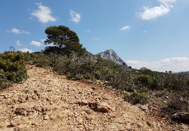
Paysages splendide à 360°
Terrain très difficile


Marche

Marche

Marche

A pied

A pied

Marche

Marche
Marche

Marche