


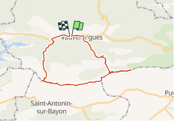

15,8 km | 28 km-effort

Gebruiker


Gratisgps-wandelapplicatie
 SityTrail
IGN / Geografische instituten
SityTrail World
De wereld gaat voor u open
Tocht Trail van 15,9 km beschikbaar op Provence-Alpes-Côte d'Azur, Bouches-du-Rhône, Vauvenargues. Deze tocht wordt voorgesteld door Olivier69XC.
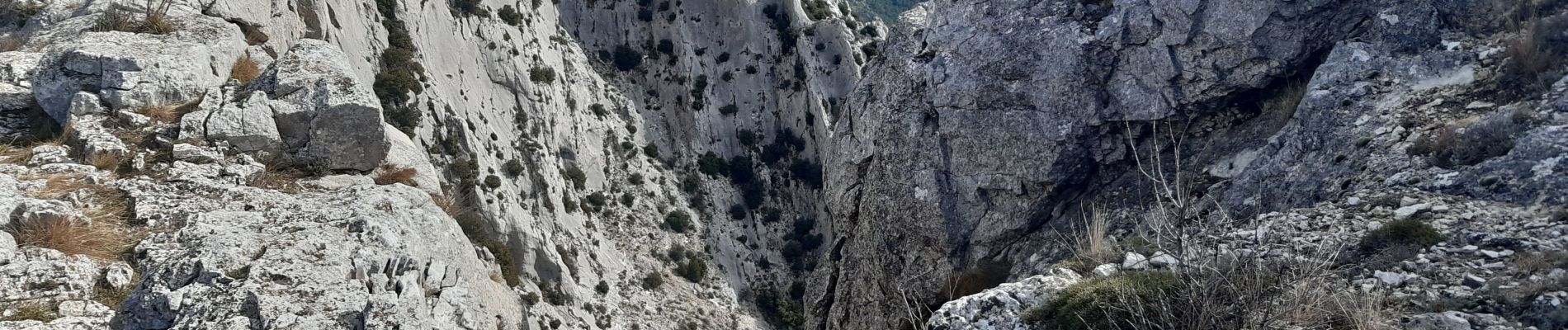
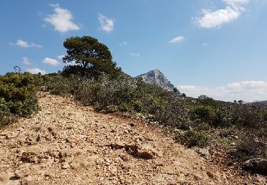
Paysages splendide à 360°
Terrain très difficile


Stappen

Stappen

Stappen

Te voet

Te voet

Stappen

Stappen
Stappen

Stappen