


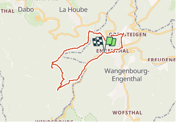

13,8 km | 18,7 km-effort

Utilisateur GUIDE


Application GPS de randonnée GRATUITE
 SityTrail
IGN / Instituts géographiques
SityTrail World
Le monde est à vous
Randonnée Marche de 14,3 km à découvrir à Grand Est, Bas-Rhin, Wangenbourg-Engenthal. Cette randonnée est proposée par holtzv.
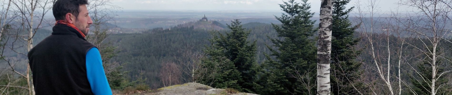
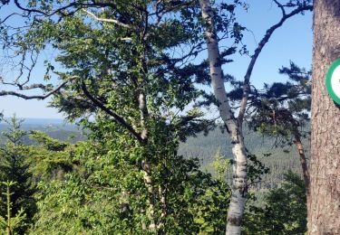
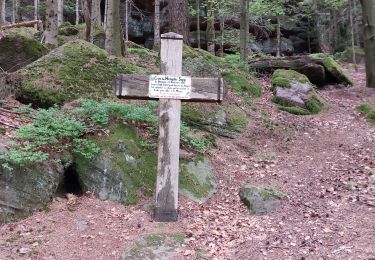
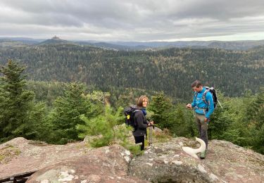
Boucle depuis Engenthal le Bas en passant par le Grand Rosskopf, Eichelkopf, Col de la Schleif, HImbeerfels et la chapelle d'Obersteigen


Marche
Marche

Marche

V.T.T.

Marche
Marche
Marche nordique
Marche