


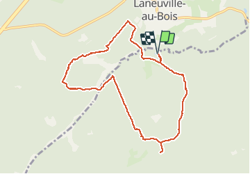


12,3 km | 15,8 km-effort

Utilisateur


Application GPS de randonnée GRATUITE
 SityTrail
IGN / Instituts géographiques
SityTrail World
Le monde est à vous
Randonnée A pied de 8,9 km à découvrir à Wallonie, Luxembourg, Sainte-Ode. Cette randonnée est proposée par gossim2.
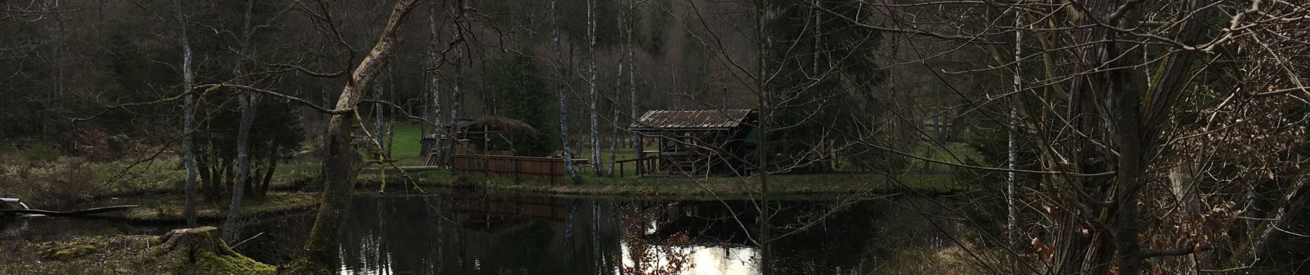
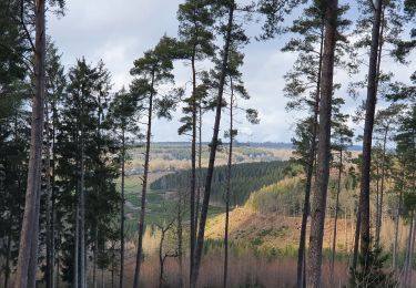
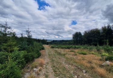
Dans les bois, beaucoup d'eau (et de la boue ;-) )Superbe vue et tranquilité!


22 photos au total. Cliquez sur une photo pour les afficher toutes dans la galerie.
Marche
Marche

Marche

Marche

Marche

Marche

Marche
Marche
Marche
Helft van de tocht
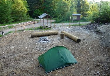
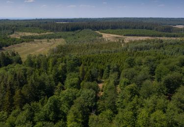
Belle balade sur des sentiers peu parcourus (et donc en pleine nature). Un peu de boue même en juillet mais rien de difficile. Beaucoup d'ombre appréciable quand il fait chaud. La balade peu aussi être commencée au bivouac du golet, qui offre parking et table de picnic.