


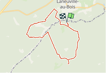


12.3 km | 15.8 km-effort

User


FREE GPS app for hiking
 SityTrail
IGN / Geographical institutes
SityTrail World
The world is yours!
Trail On foot of 8.9 km to be discovered at Wallonia, Luxembourg, Sainte-Ode. This trail is proposed by gossim2.
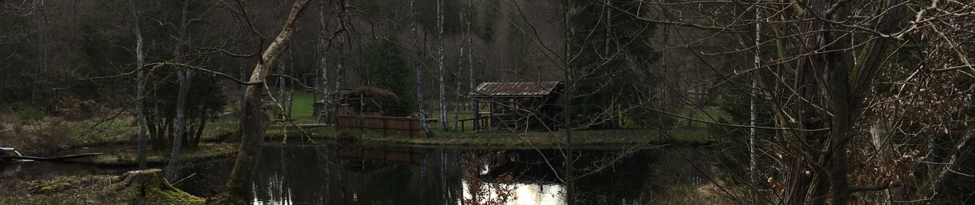
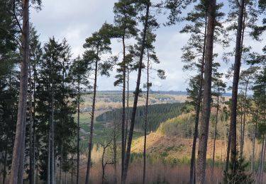
Dans les bois, beaucoup d'eau (et de la boue ;-) )Superbe vue et tranquilité!


22 photos in total. Please click on a photo to see them all in the gallery.
Walking
Walking

Walking

Walking

Walking

Walking

Walking
Walking
Walking
Helft van de tocht
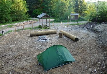
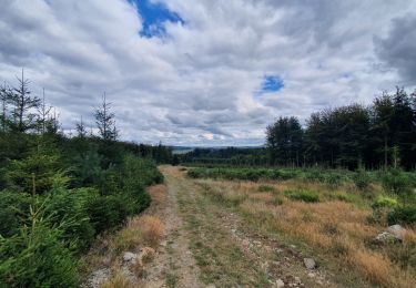
Belle balade sur des sentiers peu parcourus (et donc en pleine nature). Un peu de boue même en juillet mais rien de difficile. Beaucoup d'ombre appréciable quand il fait chaud. La balade peu aussi être commencée au bivouac du golet, qui offre parking et table de picnic.