Randonnée Marche Courçay - Courçay - Reignac-sur-Indre - 14.1km 145m 3h05 - 2020 06 20 - Photo

Courçay - Reignac-sur-Indre - 14.1km 145m 3h05 - 2020 06 20

 Orcal37
Orcal37

Utilisateur

© OpenStreetMap contributors
Longueur
Longueur
14,1 km
Altitude max
Altitude max
95 m
Dénivelé positif
Dénivelé positif
146 m
Km-Effort
Km-Effort  
16,1 km
Altitude min
Altitude min
59 m
Dénivelé négatif
Dénivelé négatif
148 m
Boucle
Boucle
Oui
Date de création :
2020-06-20 12:26:34.301
Dernière modification :
2020-06-20 16:53:55.838

(0 Avis)

Marche
Marche
3h05
Difficulté : Facile

Scannez ce code QR pour ouvrir la randonnée dans l'application SityTrail

Application GPS de randonnée GRATUITE

Logo SityTrail SityTrail

IGN / Instituts géographiques

Télécharger SityTrail sur l'App Store Télécharger SityTrail sur Google Play

Logo SityTrail SityTrail World

Le monde est à vous

Télécharger SityTrail sur l'App Store Télécharger SityTrail sur Google Play Télécharger SityTrail sur Huawei AppGallery

À propos

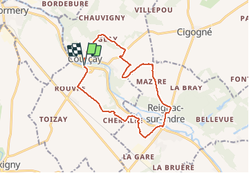
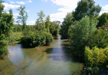
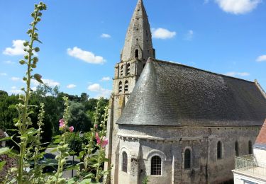
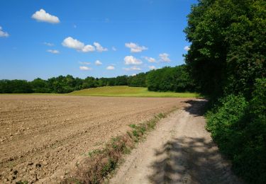
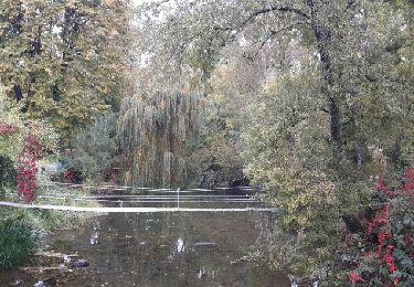
Randonnée Marche de 14,1 km à découvrir à Centre-Val de Loire, Indre-et-Loire, Courçay. Cette randonnée est proposée par Orcal37.

Description

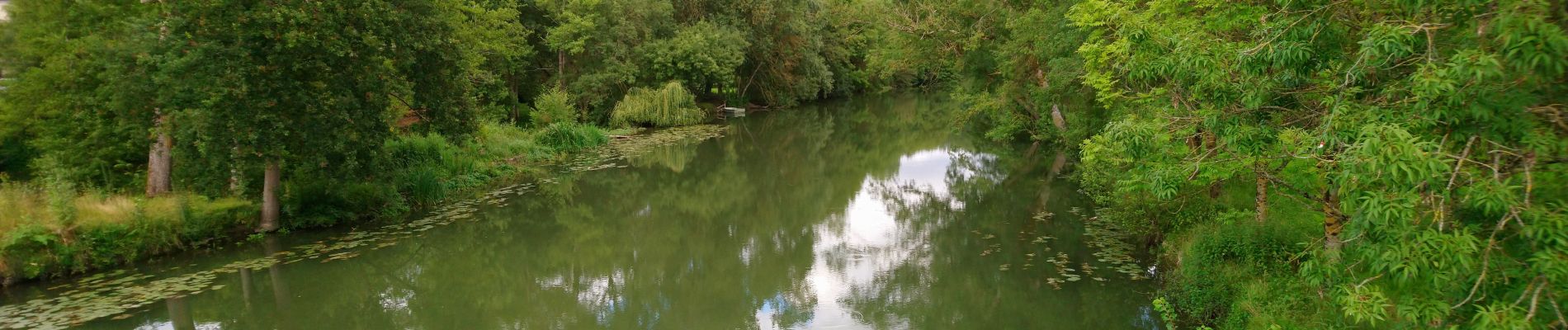
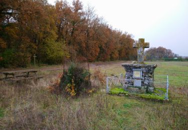
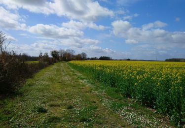
Courçay - Reignac-sur-Indre - boucle via GR46 - 14.1km 145m 3h05 - 2020 06 20

Profil altimétrique

Photos

Localisation

Pays :
France
Région :
Centre-Val de Loire
Département/Province :
Indre-et-Loire
Commune :
Courçay
Localité :
Unknown
Départ:(UTM)
339285 ; 5234951 (31T) N.

Randonnées à proximité

Randonnée Marche Truyes - Truyes - La Croix de l'Apothicaresse - 19.9km 125m 4h20 (25mn) - 2021 11 20 - Photo
Marche
Orcal37

Marche

Facile
Truyes, Centre-Val de Loire, Indre-et-Loire, France
19,9 km | 22 km-effort
4h 20min
Oui
Randonnée Marche Tauxigny-Saint-Bauld - Tauxigny - 26.7km 170m 5h20 (30mn) - 2021 03 27 - Photo
Marche
Orcal37

Marche

Facile
Tauxigny-Saint-Bauld, Centre-Val de Loire, Indre-et-Loire, France
27 km | 29 km-effort
5h 20min
Oui
Randonnée Marche Tauxigny-Saint-Bauld - Malabry - Tauxigny chemin des Moulins - 12.4km 160m 3h00 - 2020 09 07 - Photo
Marche
Orcal37

Marche

Facile
Tauxigny-Saint-Bauld, Centre-Val de Loire, Indre-et-Loire, France
12,4 km | 14,6 km-effort
3h 0min
Oui
Randonnée Marche Reignac-sur-Indre - Reignac-sur-Indre - Azay-sur-Indre - 16.1km 145m 3h25 - 2020 06 22 - Photo
Marche
Orcal37

Marche

Facile
Reignac-sur-Indre, Centre-Val de Loire, Indre-et-Loire, France
16,1 km | 18,1 km-effort
3h 25min
Oui
Randonnée Marche Truyes - truyes - Photo
Marche
jeanjean37

Marche

Facile
(1)
Truyes, Centre-Val de Loire, Indre-et-Loire, France
7,4 km | 8,4 km-effort
1h 34min
Oui
Randonnée Marche Truyes - Truyes - circuit Gâtacier et boucle le Feuillet et AR Cormery - 17.6km 165m 3h45 (45mn) - 2016 07 15 - Photo
Marche
Orcal37

Marche

Facile
Truyes, Centre-Val de Loire, Indre-et-Loire, France
17,6 km | 19,8 km-effort
3h 45min
Oui
Randonnée Marche Cormery - Cormery - Esvres - GR 46 PR 2 - 16km 150m 3h25 - 2020 06 01 - Photo
Marche
Orcal37

Marche

Facile
Cormery, Centre-Val de Loire, Indre-et-Loire, France
16 km | 18 km-effort
3h 25min
Oui
Randonnée Marche Cormery - Cormery  - Photo
Marche
danaubrac

Marche

Facile
Cormery, Centre-Val de Loire, Indre-et-Loire, France
10,7 km | 12,1 km-effort
2h 35min
Oui
Randonnée V.T.C. Tauxigny-Saint-Bauld - Boucle Tauxigny Reignac Cormery - Photo
V.T.C.
Dp35

V.T.C.

Moyen
(1)
Tauxigny-Saint-Bauld, Centre-Val de Loire, Indre-et-Loire, France
22 km | 25 km-effort
Inconnu
Oui


Fermer
Mes abonnements