


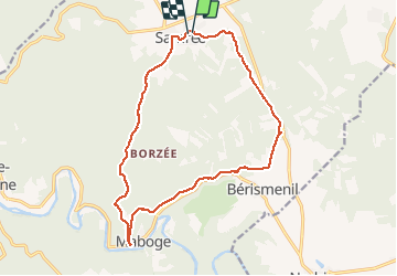

23 km | 34 km-effort

Utilisateur


Application GPS de randonnée GRATUITE
 SityTrail
IGN / Instituts géographiques
SityTrail World
Le monde est à vous
Randonnée Marche de 15,2 km à découvrir à Wallonie, Luxembourg, La Roche-en-Ardenne. Cette randonnée est proposée par negi.
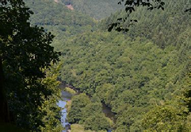
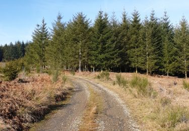
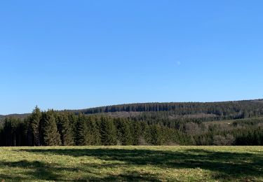
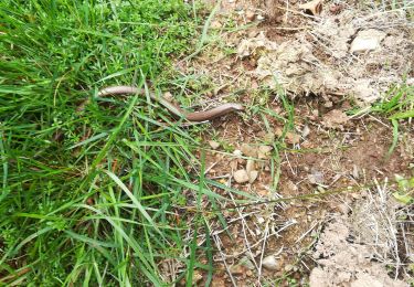
Belle rando nature et sportive. Après Berismenil vous découvrirez un site colonisé par les castors et avec un peu de chance, les observer.


Marche
Marche
Marche
Marche

Marche
Marche
Marche

Marche

V.T.T.
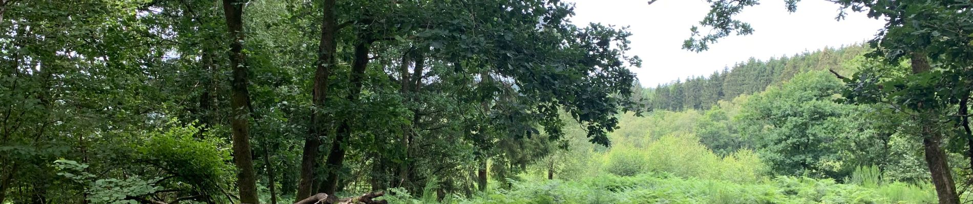
Très belle balade