


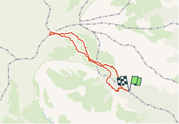

10,1 km | 22 km-effort

Utilisateur GUIDE


Application GPS de randonnée GRATUITE
 SityTrail
IGN / Instituts géographiques
SityTrail World
Le monde est à vous
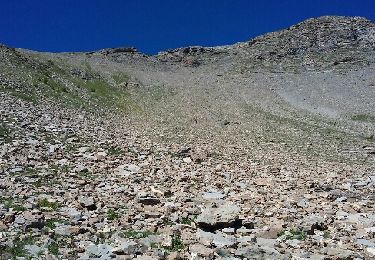
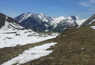
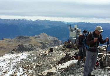
Randonnée Marche de 16 km à découvrir à Provence-Alpes-Côte d'Azur, Hautes-Alpes, Saint-Clément-sur-Durance. Cette randonnée est proposée par David25400.


Ski de randonnée
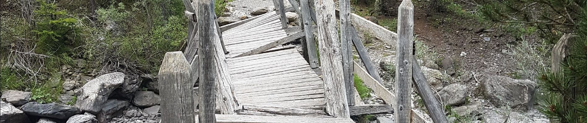
Marche
Marche
Marche
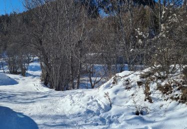
Marche
Marche
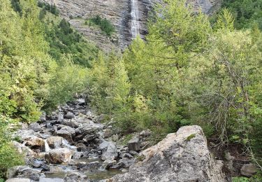
Marche
Marche
Marche