


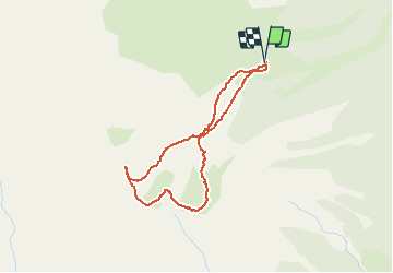


8,8 km | 12,4 km-effort

Utilisateur


Application GPS de randonnée GRATUITE
 SityTrail
IGN / Instituts géographiques
SityTrail World
Le monde est à vous
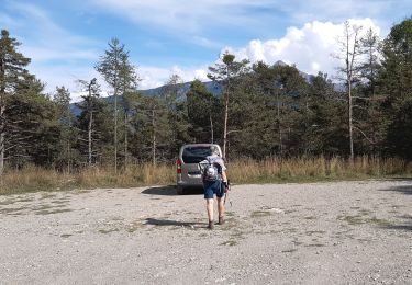
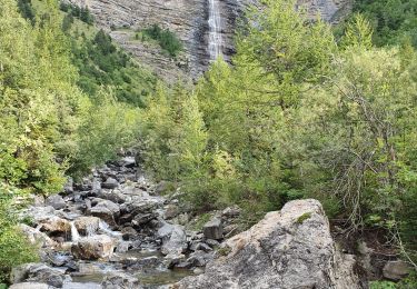
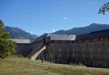
Randonnée Marche de 3,6 km à découvrir à Provence-Alpes-Côte d'Azur, Hautes-Alpes, Châteauroux-les-Alpes. Cette randonnée est proposée par BLANCHET.
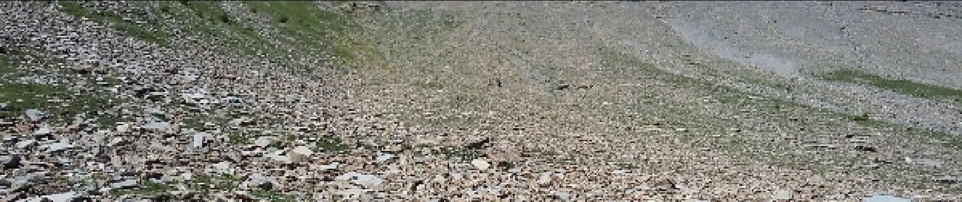
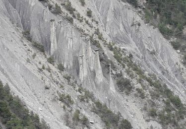
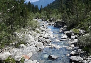
Tété de Clotinaille, tout droit dans le clapier; descente idem : une tuerie!
 - Photo 1")
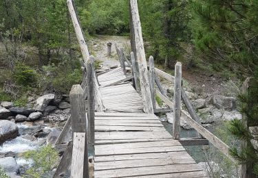
 - Photo 2")
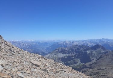
 - Photo 3")
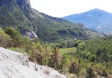
 - Photo 4")
 - Photo 5")

Marche
Marche
Marche
Marche
Marche
Marche
Marche
Marche
Marche