


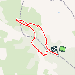

10,1 km | 22 km-effort

Utilisateur


Application GPS de randonnée GRATUITE
 SityTrail
IGN / Instituts géographiques
SityTrail World
Le monde est à vous
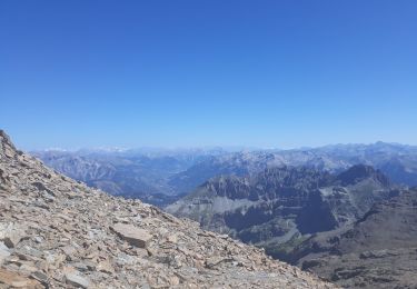
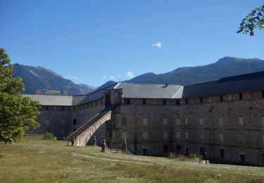
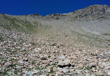
Randonnée Marche de 7,9 km à découvrir à Provence-Alpes-Côte d'Azur, Hautes-Alpes, Saint-Clément-sur-Durance. Cette randonnée est proposée par gildascb.
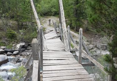
accès par route forestière. 4x4 ou petite voiture de préférence, sinon, faire attention et rouler lentement


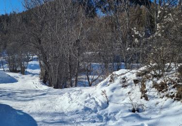
Ski de randonnée
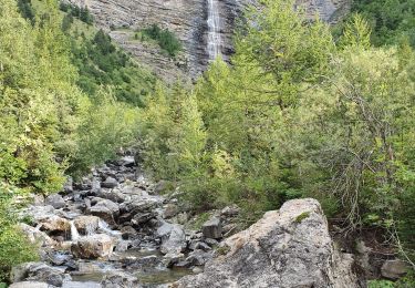
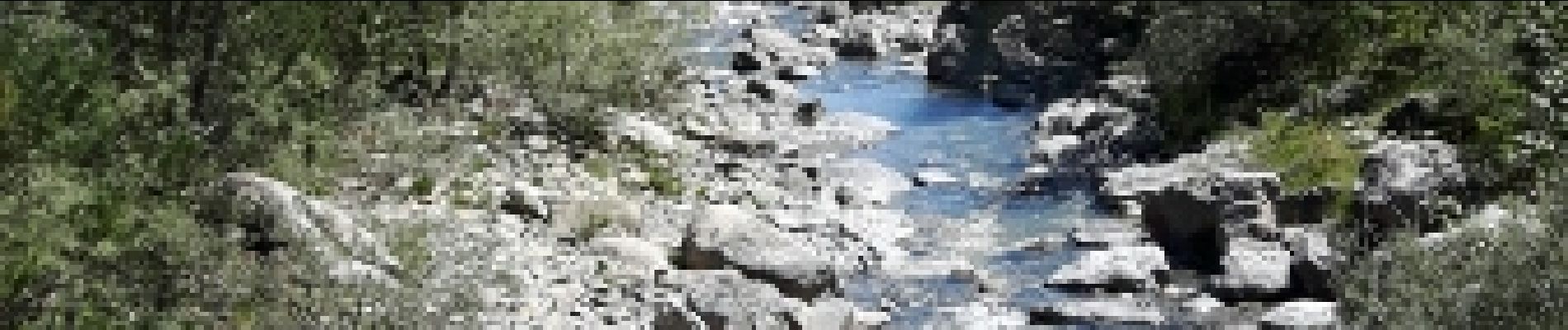
Marche
Marche
Marche
Marche
Marche
Marche
Marche
Marche
zeer mooie tocht. vrij simpel te doen