


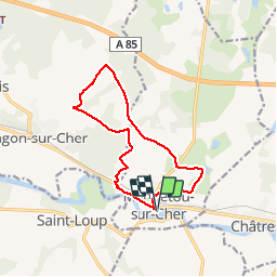


10,8 km | 12,1 km-effort

Utilisateur


Application GPS de randonnée GRATUITE
 SityTrail
IGN / Instituts géographiques
SityTrail World
Le monde est à vous
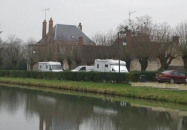
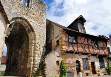
Randonnée Marche de 12 km à découvrir à Centre-Val de Loire, Loir-et-Cher, Mennetou-sur-Cher. Cette randonnée est proposée par cyberm.
Au pays de Thierry la Fronde

Marche
Marche
Vélo

Marche
Marche
Marche
Marche
Marche
Marche